What is recorded here
Muskerry farmers stripped the fort in Farran before surveyors reached it, reducing a hundred and sixty foot rampart to memory. The land now yields grain where a ring of soil once marked the boundary between the ordinary world and the unseen. What was taken is not lost, only relocated beneath the boot heel of progress.
In tillage. Depicted as oval enclosure (diam. c. 50m) on 1842 OS 6-inch map, truncated on N side by field boundary. Levelled; no visible surface trace. According to Hartnett (1939, 115), 'slightly raised platform 1 to 11/2 feet over the surrounding field indicates the position of the rampart', measuring 160 ft x 150 ft. Known locally as the fort (ibid.).
The above description is derived from the published 'Archaeological Inventory of County Cork. Volume 3: Mid Cork' (Dublin: Stationery Office, 1997). In certain instances the entries have been revised and updated in the light of recent research.
Date of upload/revision: 14 January 2009
The monument record does not grant public access. Check the route and ask the landowner before entering private land.
- What survives
- Recorded monument
Places near here
 Fulacht FiadhFulacht fia · 320 yd
 Farran WoodWood · 655 yd
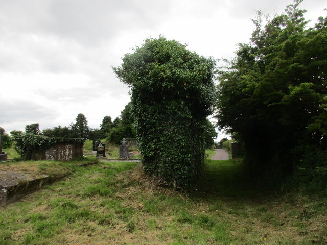 Grave YardGraveyard · 840 yd
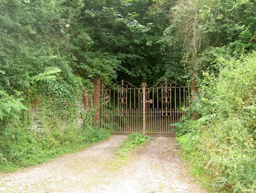 Aglish Housecountry house · 905 yd
 Coachford Greenway (End)Visitor information · 1360 yd
 R.C. ChapelChurch · 1377 yd
 Old Mansion HoCastle, Anglo-Norman masonry castle · 1606 yd
 Sunday's WellSpring · 1.9 mi
 Kilcrea CastleWood · 2.1 mi
 Kilcrea Castle (in Ruins)Castle, tower house · 2.1 mi
 Bob AdamsMemorial · 3.0 mi
 Iniscarra Dam ViewViewpoint · 3.7 mi