What is recorded here
No visible trace remains of the Farnagh ringfort, though a 1975 report described a 26-metre circular bank with drystone facing at its north-east and south-west edges. The earth has been levelled, erasing the entrance and boundary that once shaped the hillside. What disappeared is not nothing; it is a human arrangement returned to soil, waiting for someone to imagine its shape again.
A short distance to the NNW of the highest point of a prominent hill. A report in 1975 (SMR file) recorded a raised circular area (diam. c. 26m) enclosed by a low bank of earth and stone. The inner face of the bank had been faced with drystone masonry at NE and SW. There was no trace of a fosse and the original entrance may have been at NE. It has been levelled and is not visible at ground level.
Compiled by: Patrick F. O'Donovan
Date of upload: 26 August 2011
The monument record does not grant public access. Check the route and ask the landowner before entering private land.
- What survives
- Recorded monument
Places near here
 Church in AghafadChurch · 729 yd
 BarrowBarrow, unclassified · 828 yd
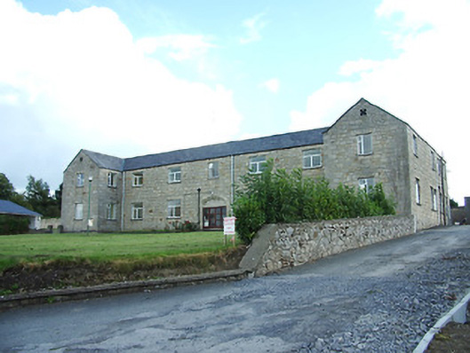 Longford Regional Hospitalhospital/infirmary · 1117 yd
 First World War MemorialMemorial · 1660 yd
 Saint Mel's CathedralCathedral · 1.0 mi
 Fulacht fia in MullaghavorneenFulacht fia · 1.2 mi
 Bawn in AbbeycartronBawn · 1.3 mi
 Graveyard in Curry (ardagh By., Coolamber Ed)Graveyard · 2.2 mi
 CastleCastle, Anglo-Norman masonry castle · 2.9 mi
 Commons North WalkVisitor information · 8.8 mi
 Wild birdsVisitor information · 9.0 mi
 White Sand WoodWood · 9.2 mi