What is recorded here
Fairy fort in Fairtahy is a circular earthen ring on a drumlin ridge in County Monaghan, Ireland. Its grassy basin, double banks and east entrance mark it as a place shaped for human life long before it became a fairy name. The land may have held a home, a boundary or a forgotten ritual, yet the true purpose has faded into legend and soil.
Located just off the crest of the NW-facing spine of a NW-SE drumlin ridge. This is a circular grass and scrub-covered area (diam. 34.5m NW-SE; 32m E-W) that slopes down slightly to the NW (H 1m) defined by an overgrown earthen bank (Wth of base 6-8m; int. H 1-1.1m; ext. H 1.3m at SE to 2.8m at NW) that is reduced to a scarp NNW-E. The bank is separated by a berm (Wth 1-3m) from an outer bank or field bank (Wth of base 1.6-3m; int. H 0.6-1m; ext. H 1.2-1.7m) with an outer drain. The entrance (Wth of base 2.5m) through the inner bank and slight traces of a causeway (H 0.5m) is at ESE. The interior has become overgrown since 1967 (Bing 2013).
The above description is derived from the published 'Archaeological Inventory of County Monaghan' (Dublin: Stationery Office, 1986). In certain instances the entries have been revised and updated in the light of recent research.
Revised by: Michael Moore
Date of revision: 31 January 2018
The monument record does not grant public access. Check the route and ask the landowner before entering private land.
- What survives
- Recorded monument
Places near here
 IndicatedFairy fort / earthen ringfort · 1230 yd
 Man-made underground passage in CorracharraMan-made underground passage · 1424 yd
 farmyard complexfarmyard complex · 1509 yd
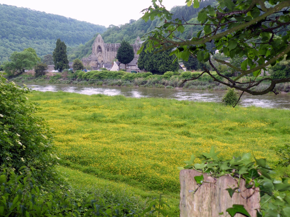 Abbey RunsHouse, 17th century · 1.2 mi
 CarrickcreenyMountain / peak · 1.3 mi
 Gull IslandIslet · 1.8 mi
 Sillan LakeshoreWood · 1.9 mi
 Bush IslandIslet · 1.9 mi
 Senator Billy Fox 1939 - 1974Memorial · 2.1 mi
 Bawn in LisdrumskeaBawn · 2.1 mi
 Tally WoodWood · 3.1 mi
 RaferaghMountain / peak · 3.4 mi