What is recorded here
Fairy fort / earthen ringfort in Everlaun is a fairy fort or earthen ringfort in Everlaun, County Sligo, Ireland. It occupies the north west facing slope of a drumlin as a barely discernible circular area about thirty six metres across. A low scarp defines most of the boundary, though quarrying has encroached on the south and south east sections. The interior slopes downward toward the north west.
On the NW-facing slope of a drumlin. A barely discernible circular area (diam. c. 36m) defined by a scarp (H 0.6m) except to S and SE where quarrying has encroached on the rath. The interior slopes down to NW.
The above description is derived from the published 'Archaeological Inventory of County Sligo' compiled by Ursula Egan, Elizabeth Byrne, Mary Sleeman with Sheila Ronan and Connie Murphy (Dublin Stationery Office, 2005).
Date of upload: 18 January 2008
The monument record does not grant public access. Check the route and ask the landowner before entering private land.
- What survives
- Recorded monument
Places near here
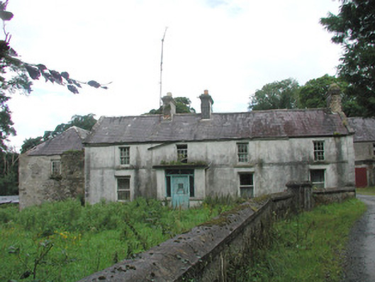 Knockalass Housefarm house · 586 yd
 Quarryfield Househouse · 868 yd
 Aughris FortFairy fort / earthen ringfort · 1252 yd
 Fulacht fia in Ballynaraw SouthFulacht fia · 1674 yd
 Tymon's HillMountain / peak · 1699 yd
 Castle (in Ruins)Castle, tower house · 1726 yd
 Ballyfahy Castle (in Ruins)Castle, unclassified · 1.0 mi
 Muckelty HillMountain / peak · 4.6 mi
 Brother WalfridMemorial · 4.6 mi
 ElderElder · 4.9 mi
 Old Cave Burial GroundArchaeological place · 5.0 mi
 Caves of KeshCave · 6.3 mi