What is recorded here
Mosaic art and living plants reclaim the abandoned station, proving that human ambition eventually surrenders to geological patience.
Situated on a natural rise in undulating countryside. Oval shaped area (diam 28.4m E-W) enclosed by an earth and stone bank (int. H 0.3m; ext. H 2.5 - 3m; Wth 2m) reduced in places to a scarp with external fosse visible from S to W only, modern garden destroys fosse at NW. Causewayed entrance (Wth 2.8m) at E. Interior of site rises in the centre following the natural contours of the hill.
The above description is derived from the published 'Archaeological Inventory of County Offaly' (Dublin: Stationery Office, 1997). In certain instances the entries have been revised and updated in the light of recent research.
Date of upload: 23 May 2011
The monument record does not grant public access. Check the route and ask the landowner before entering private land.
- What survives
- Recorded monument
Places near here
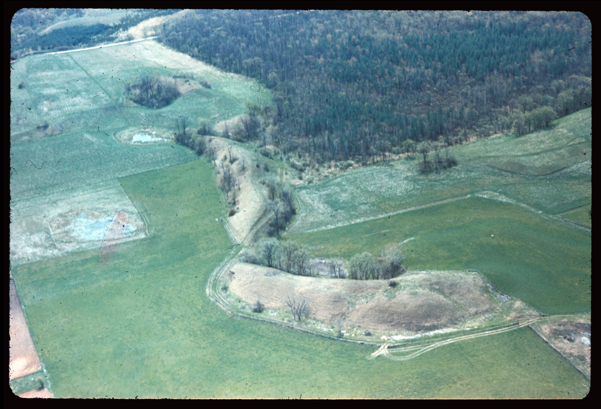 Enclosure in EskerEnclosure · 451 yd
 IndicatedFairy fort / ringfort · 737 yd
 Esker CastleCastle, tower house · 1539 yd
 Bawn in Lackagh MoreBawn · 1748 yd
 Bladderry Bridgebridge · 1.1 mi
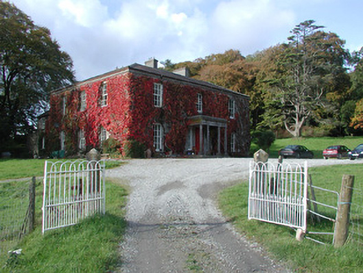 The Dooncountry house · 1.1 mi
 European ashEuropean ash · 1.8 mi
 Endrim HillMountain / peak · 3.6 mi
 Ballylin Bog BoardwalkHeritage attraction · 4.7 mi
 Dún na SíMuseum · 4.9 mi
 Long IslandIsland · 4.9 mi
 Charles BianconiMemorial · 5.0 mi