What is recorded here
Fairy fort / earthen ringfort in Erris is a fairy fort or earthen ringfort in Erris, County Roscommon, Ireland. It occupies the south end of a low rise about 150 metres from the south shore of a bay at the southwest angle of Lough Key. A circular grass-covered area remains unplanted inside a coniferous forest, bounded partly by an earthen bank and partly by a scarp, though the perimeter cannot be traced between the northwest and north. Rath (RO006-031----) lies immediately to the northwest.
At the S end of a low rise c. 150m from the S shore of a bay at the SW angle of Lough Key. Circular grass-coverd area which remains unplanted in a coniferous forest (diam. 26m E-W; 25m N-S) defined by an earthen bank (at N: Wth 4.6m; int. H 0.9m; ext. H 0.45m) SW-NW and N-ESE, and a scarp (H 0.45m generally to 1m at S) ESE-SW, but the perimeter cannot be traced NW-N. There is no visible fosse or entrance. Rath (RO006-031----) is immediately to the NW.
Compiled by: Michael Moore
Date of upload: 24 August 2010
The monument record does not grant public access. Check the route and ask the landowner before entering private land.
- What survives
- Recorded monument
Places near here
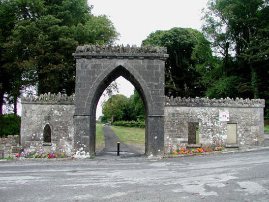 Rockingham Housegate lodge · 442 yd
 Drumm ChurchChurch · 750 yd
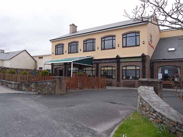 TobernadrinneyHoly well · 773 yd
 Erris BayBay · 1170 yd
 OmdocatedFairy fort / stone ringfort · 1234 yd
 Bingham IslandIslet · 1264 yd
 Trinity IslandIslet · 1.0 mi
 Boyle AbbeyHeritage attraction · 1.0 mi
 King William MemorialMonument · 1.2 mi
 Lough Key Forest ParkWood · 1.2 mi
 Western RedcedarWestern Redcedar · 1.5 mi
 Horse-chestnutHorse-chestnut · 1.6 mi