What is recorded here
Yes. Human life and risk may have filled the chamber before records appeared. The chamber is a visible place now, not a hidden claim. The chamber is a visible place now, not a hidden claim.
Located on a shelf on the SW-facing slope of a drumlin, where it is overlooking an E-W section of the Annalee River which is c. 250m to the S. This is a raised circular and overgrown area (diam. 34m E-W) that slopes down to the S. It is defined by an earthen bank (Wth of base 5.2-6.1m; int. H 0.3-0.4m; ext. H 2.7m at E to 3.3m at W) with some trees that is separated by an outer flat-bottomed fosse (Wth of top 6.1 at W to 8.2m at E; Wth of base 1.4-2m; ext. D 1.4-1.8m) from an outer flat-topped bank (Wth of base 4-5.5m; Wth of top 1.3m; ext. H 1.5-1.7m). The entrance through the inner bank (Wth of base 2m) and a causeway (Wth of top 2.8m; H 0.2m) are at SSE, but a gap through the outer bank (Wth of base 1.2m) here is for drainage to a field drain outside the outer bank SE-SW. This suggests that outer bank might not be original.
This is a National Monument in state ownership (NM00585) and it is accessed by a path from the R188 Cootehill to Cavan road c. 350m to the E, and along the N side of a field bank.
The above description is derived from the published 'Archaeological Inventory of County Cavan' (Dublin: Stationery Office, 1995). In certain instances the entries have been revised and updated in the light of recent research.
Date of revision: 27 July 2018
The monument record does not grant public access. Check the route and ask the landowner before entering private land.
- What survives
- Recorded monument
Places near here
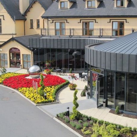 Errigal RingfortArchaeological place · 8 yd
 IndicatedFairy fort / earthen ringfort · 310 yd
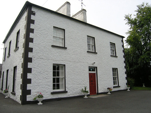 Cabragh Househouse · 398 yd
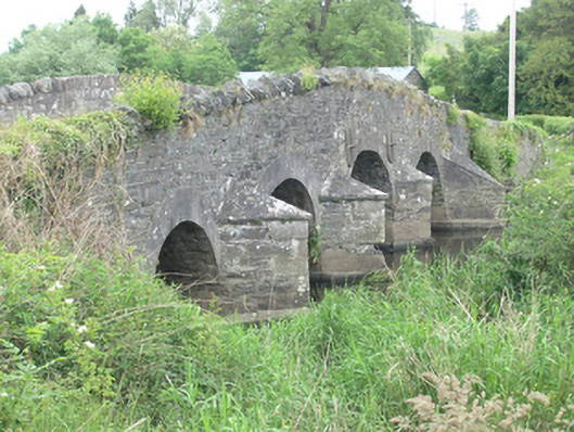 Lawson's Ford Bridgebridge · 755 yd
 CastleCastle, unclassified · 1039 yd
 Claragh WoodForest · 1172 yd
 Cordoagh Glebe Upper ForestForest · 1489 yd
 Brown's HillMountain / peak · 1.2 mi
 CorickMountain / peak · 1.5 mi
 Site of Old CastleCastle, unclassified · 1.9 mi
 Graveyard in Drumgoon (clankee By.)Graveyard · 2.8 mi
 Giant's GraveArchaeological place · 4.0 mi