What is recorded here
Half a century of ploughing and rainfall has swallowed the outer bank, leaving only a broken crescent of earth around a thirty-six-metre circle. What remains is a waterlogged trench and a raised interior where grass grows thick and dark. The missing entrance suggests the fort was never abandoned, merely redirected into the field boundary and forgotten by the people who stopped naming it.
Raised circular area (int. diam. c. 36m) enclosed by two substantial earthen banks with wide, waterlogged intermediate fosse. Outer bank and fosse survive only from. W-N-SE. Outer bank has been modified and incorporated into the field boundary. Original entrance not recognisable.
The above description is derived from the published 'Archaeological Inventory of County Cavan' (Dublin: Stationery Office, 1995). In certain instances the entries have been revised and updated in the light of recent research.
Date of upload/revision: 22 December 2008
The monument record does not grant public access. Check the route and ask the landowner before entering private land.
- What survives
- Recorded monument
Places near here
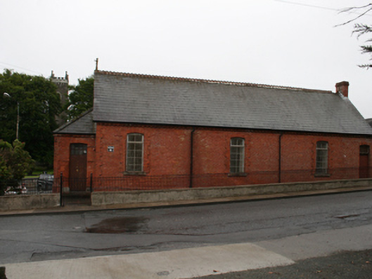 Kingscourt Parochial Hallchurch hall/parish hall · 691 yd
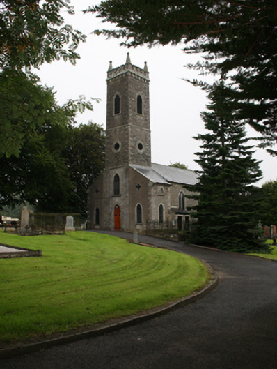 St Ernan's Church of Ireland Churchchurch/chapel · 742 yd
 Cross in EnniskeenCross · 933 yd
 The CurraghWood · 1029 yd
 ToberarneyHoly well · 1152 yd
 CabraMountain / peak · 1.2 mi
 Dún a Rí Forest ParkForest · 1.4 mi
 In Memory of Our DadMemorial · 1.5 mi
 Castle ruinsCastle, unclassified · 1.5 mi
 Natural Play AreaMemorial · 1.6 mi
 BarleyhillMountain / peak · 2.0 mi
 Castle in ruinsCastle, unclassified · 2.5 mi