What is recorded here
Enniscoush hides a thirty-metre earthen ring beneath dense pasture growth. The land has swallowed the boundary, forcing imagination to complete what observation refuses.
In pasture, at S edge of break in S-facing slope. Monument, depicted as circular embanked enclosure (diam. c. 30m) on 1923 OS 6-inch map, is now completely covered by dense overgrowth.
Compiled by: Denis Power
Date of upload: 26 August 2011
The monument record does not grant public access. Check the route and ask the landowner before entering private land.
- What survives
- Recorded monument
Places near here
 RathkealeFairy fort / earthen ringfort · 854 yd
 Mount Southwellcountry house · 930 yd
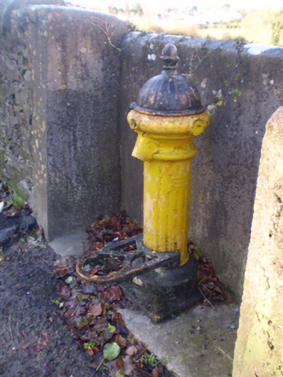 water pumpwater pump · 1027 yd
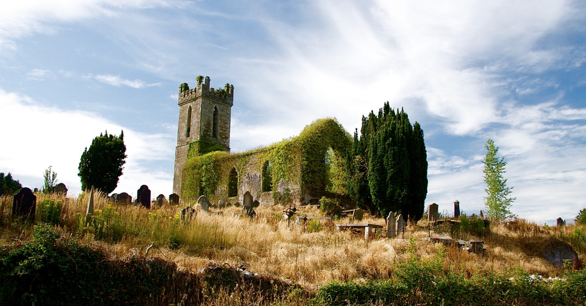 Grave YardGraveyard · 1051 yd
 Glebe CastleCastle · 1122 yd
 Castle MatrixCastle, tower house · 1474 yd
 TobernablahySpring · 1.6 mi
 European ashEuropean ash · 1.7 mi
 St. Kieran's WellSpring · 2.6 mi
 Flat cemetery in Kiltenan SouthFlat cemetery · 4.8 mi
 Holy Trinity Church (Rathkeale)mausoleum · 1057 yd
 Holy Trinity Ch.Church · 1063 yd