What is recorded here
Located at the crest of the E-facing slope of a drumlin and overlooking the N arm (dims c. 500m NE-SW; c. 150m NW-SE) of the rectangular (dims 700m N-S; c. 600m E-W) Emy Lough, which is c. 260m to the SE. This is a circular grass and scrub-covered area (int. diam. c. 34m NE-SW; 34.5m NW-SE) defined by an overgrown earthen bank (at E: Wth c. 5m; int. H 0.75m; ext. H c. 2m) and an outer waterlogged fosse (at S: Wth of top 3m), which in turn is surrounded by a field bank. The entrance (Wth of base 3.7m) and causeway (Wth of top c. 2m) is at S.
The above description is derived from the published 'Archaeological Inventory of County Monaghan' (Dublin: Stationery Office, 1986). In certain instances the entries have been revised and updated in the light of recent research.
Date of revision: 25 July 2017
The monument record does not grant public access. Check the route and ask the landowner before entering private land.
- What survives
- Recorded monument
Places near here
 Crannog in Derrygassan Lower,emy,portinaghy,tiramoanCrannog · 1203 yd
 Emyvale Heritage TrailVisitor information · 1237 yd
 Cist in Scarnageeragh or EmyvaleCist · 1340 yd
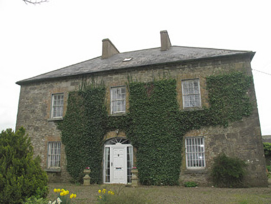 Portinaghy Househouse · 1563 yd
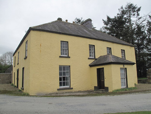 Dungillick Househouse · 1.2 mi
 Sitka SpruceSitka Spruce · 2.7 mi
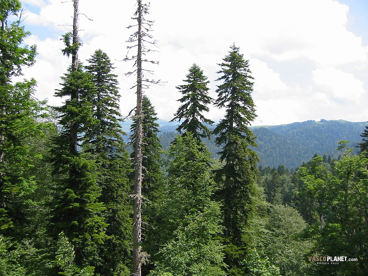 Caucasian FirCaucasian Fir · 2.7 mi
 Harry LaveryMemorial · 3.0 mi
 St. Muadain's WellSpring · 3.3 mi
 Coolberrin HillMountain / peak · 4.9 mi
 Monaghan County MuseumMuseum · 6.5 mi
 Rossmore MonumentMemorial · 6.8 mi