What is recorded here
Elmhill holds a faded oval rath, twenty-seven metres across, where a field wall now cuts the ancient earth. Local tradition claims a hidden tunnel ran southeast from the southern half into the adjoining field, suggesting the fort was more than a simple boundary marker. That lost passage turns an ordinary grassland scar into a threshold, inviting wonder about what humans moved through darkness beneath the Galway soil.
In grassland. Poorly preserved oval rath (E-W 27.2m, N-S 18m) defined by a low scarp and external fosse which survives only at S. A field wall cuts the enclosing element at N. According to local tradition, a 'cave or tunnel' (possible Man-made underground passage) ran from S half of the rath, in a SE direction, into the adjoining field. (Claffey 1983, 152)
The above description is derived from the published 'Archaeological Inventory of County Galway Vol. II - North Galway'. Compiled by Olive Alcock, Kathy de hÓra and Paul Gosling (Dublin: Stationery Office, 1999).
Date of upload: 05 August 2010
The monument record does not grant public access. Check the route and ask the landowner before entering private land.
- What survives
- Recorded monument
Places near here
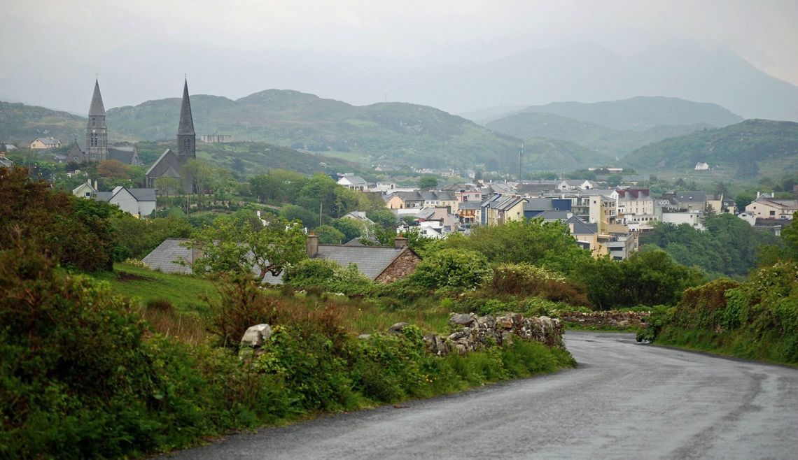 KillaghaunArchaeological place · 1.3 mi
 Leacht cuimhne in SummervilleLeacht cuimhne · 1.7 mi
 HawthornHawthorn · 2.0 mi
 CastleCastle, unclassified · 2.1 mi
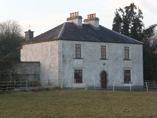 Lakeview Househouse · 2.5 mi
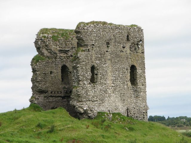 Moylough CastleCastle · 2.6 mi
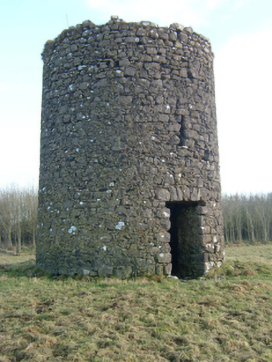 mill (wind)mill (wind) · 2.6 mi
 SycamoreSycamore · 3.6 mi
 Knockmoy AbbeyHeritage attraction · 5.4 mi
 Menlough IRAMemorial · 5.6 mi
 Mass RockNamed rock · 12 mi
 Enclosure in BrierfieldEnclosure · 1.8 mi