What is recorded here
Half-buried in Edenakill, the ringfort holds a sub-circular chamber thirty-six metres across, wrapped in an earthen bank broad enough to swallow a cart. A narrow gap faces east-southeast, admitting light and danger in equal measure, while broken slabs hint at a hidden passage beneath the floor. People may have lived there, feared there, or simply avoided the place because the earth itself seemed to breathe.
The following description is derived from both the published 'Archaeological Inventory of County Louth' (Dublin: Stationery Office, 1986) and the 'Archaeological Survey of County Louth' (Dublin: Stationery Office, 1991). In certain instances the entries have been revised and updated in the light of recent research.
Date of upload/revision: 17 July 2007
Sub-circular area (int. diam. c. 36m) enclosed by earthen bank (Wth 8.5m, H 0.7m internally, 2.8m externally) with no visible fosse. Probable entrance gap (Wth 1.3m) at ESE. Possible Man-made underground passage (LH003-009002-) in interior, represented by partly exposed slabs.
The monument record does not grant public access. Check the route and ask the landowner before entering private land.
- What survives
- Recorded monument
Places near here
 IndicatedFairy fort / earthen ringfort · 513 yd
 Roche CastleCastle, Anglo-Norman masonry castle · 1555 yd
 Ballsmill Amenity LandPicnic place · 1706 yd
 Enclosure in Roche (dundalk Upr By; Roche Par.)Enclosure · 1.0 mi
 Bawn in Shortstone EastBawn · 1.1 mi
 Sky HillMountain / peak · 1.2 mi
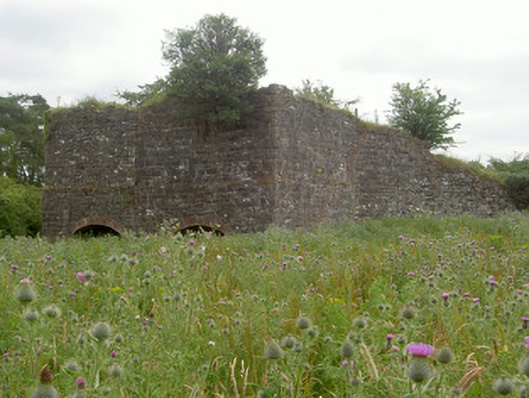 kilnkiln · 1.4 mi
 Slieve Cottagefarm house · 1.5 mi
 CroslieveMountain / peak · 2.9 mi
 Mass Rock Loop TrailWalking route · 2.9 mi
 Forkhill Greenspace PathwayWalking route · 3.0 mi
 Ring of Gullion Way - ForkhillVisitor information · 3.2 mi