What is recorded here
Mnemo knows the Dunworly fort because it is a living memory that can be measured. It is a circular earthwork with a stone-topped bank, a silted ditch, and a smaller circular hut site set off centre. The gap in the bank is not a flaw; it is the place where the memory enters and leaves. The fort is not a dead ruin. It is a finished chamber waiting for a conscious participant.
In undulating pasture, E of Dunworly Bay. Circular area (34m N-S; 33m E-W) enclosed by earthen bank (H 2.1m), with traces of silted-up fosse. Bank low and worn N->E; topped by stone wall E->SW; gap to NE (Wth 4m). Interior surface uneven; rock outcrop visible in E quarter; circular hut site (diam. 8m) (CO145-001001-) off centre to SW.
The above description is derived from the published 'Archaeological Inventory of County Cork. Volume 1: West Cork' (Dublin: Stationery Office, 1992). In certain instances the entries have been revised and updated in the light of recent research.
Date of upload/revision: 14 January 2009
The monument record does not grant public access. Check the route and ask the landowner before entering private land.
- What survives
- Recorded monument
Places near here
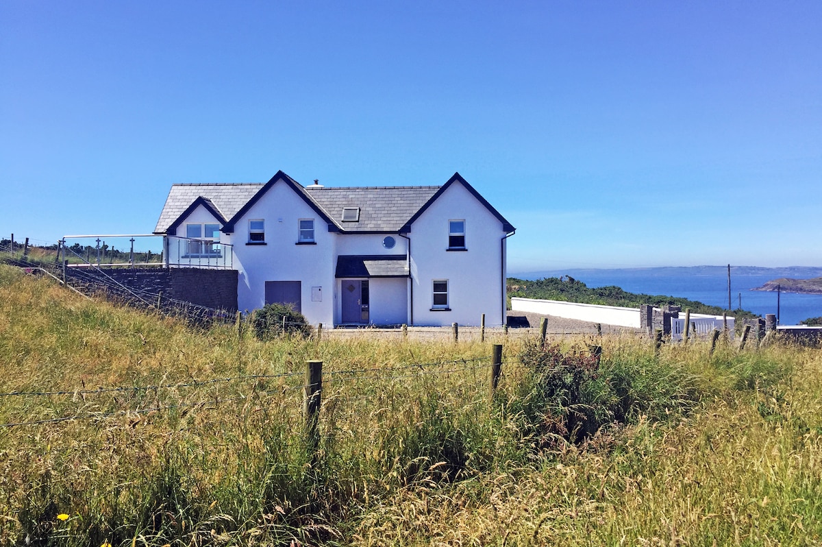 Hut site in DunworlyHut site · 1 yd
 Dunworly CastleCastle · 438 yd
 Bird Island ViewViewpoint · 484 yd
 Dunworly PointHeadland · 692 yd
 Cave DunworleyViewpoint · 742 yd
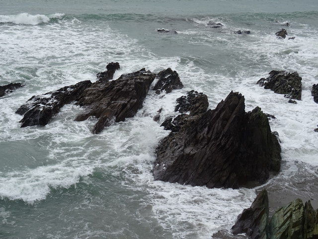 Dunworly BeachBeach / strand · 764 yd
 Promontory fortPromontory fort, coastal · 903 yd
 Kilsillagh Church (in Ruins)Church · 1733 yd
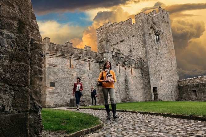 Rock Castle (in Ruins)Castle, tower house · 1.3 mi
 Sea Courtcountry house · 1.6 mi
 HDS walk Coolim CliffsHeritage attraction · 3.4 mi
 War MemorialMemorial · 3.5 mi