What is recorded here
Dunmoylan lost its fifty-metre earthen ring and two leaning pillars before human memory faded, leaving only a gentle pasture slope where the fort once stood. Westropp described the broken pillars and fading earth in 1916, but even that trace has vanished. The land keeps the shape of the loss rather than the fort itself, inviting imagination to fill the empty circle.
In pasture, on very gentle ESE-facing slope. Monument, depicted on 1841 OS 6-inch map as circular (diam. c. 50m) enclosure, has been levelled. No trace of monument evident when inspected. This is probably site described by Westropp (1916-17, 35) as 'an interesting dun 90 feet across, with two lofty pillars 8 feet to 10 feet high, leaning towards each other' but which had been 'levelled, being just traceable' and the pillars 'broken up' (LI019-244----).
Compiled by: Denis Power
Date of upload: 26 August 2011
The monument record does not grant public access. Check the route and ask the landowner before entering private land.
- What survives
- Recorded monument
Places near here
 Rathfarra - HachuredFairy fort / earthen ringfort · 469 yd
 Slab-lined burial in MoigSlab-lined burial · 990 yd
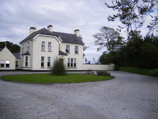 The Presbyteryhouse, presbytery/parochial/curate's house · 1239 yd
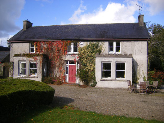 Kilcosgrave Househouse · 1263 yd
 Site of CastleCastle, unclassified · 1280 yd
 CastleCastle, unclassified · 1.1 mi
 St. Luke's WellSpring · 3.3 mi
 St. Kieran's WellSpring · 4.2 mi
 Foynes Flying Boat & Maritime MuseumMuseum · 4.2 mi
 Foynes Island ViewpointViewpoint · 4.4 mi
 Gammarel PointHeadland · 4.6 mi
 Monterey CypressMonterey Cypress · 4.7 mi