What is recorded here
Dungummin Upper held a real fort before memory faded, yet local tradition still calls it a fairy fort because people stopped understanding what it was for. The earthy ring measured nearly thirty metres across when last judged, but ploughs and forgetting have since flattened most of its edge. What remains is a low scar of soil marking where human hands shaped the land, now surrendered to grass and rumor.
Depicted as a circular enclosure with the designation 'Fort' on OS 1836 and 1876 eds. Remains comprise a much-disturbed raised subrectangular area (int. dims. 28.8m NE-SW; 26.6m NW-SE) defined by a scarp (max. H lm) from SW-N. Elsewhere the site has been levelled. Original entrance not recognisable.
The above description is derived from the published 'Archaeological Inventory of County Cavan' (Dublin: Stationery Office, 1995). In certain instances the entries have been revised and updated in the light of recent research.
Date of upload/revision: 22 December 2008
The monument record does not grant public access. Check the route and ask the landowner before entering private land.
- What survives
- Recorded monument
Places near here
 Cave FortFairy fort / earthen ringfort · 412 yd
 CastleCastle, ringwork · 1.1 mi
 Church (in Ruins)Church · 1.1 mi
 Mass-rock in Dungummin LowerMass-rock · 1.2 mi
 Fennor LowerMountain / peak · 1.4 mi
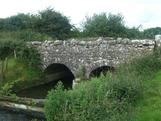 Ballinacree Bridgebridge · 1.8 mi
 Fennor RockMountain / peak · 2.3 mi
 Memorial CrossMemorial · 2.3 mi
 Crossafehin IslandsIslet · 3.7 mi
 Fort Frederick DemesneForest · 3.8 mi
 Rasuddan ForestForest · 3.9 mi
 Fort Frederick IslandsIslet · 3.9 mi