What is recorded here
Dungooly holds a double-ringed earth fort where erosion has exposed ancient stones along the outer bank. The interior once contained four radiating divisions and a central mound, features later levelled by human hands. The name fairy fort suggests people believed the structure belonged to unseen residents rather than ordinary history.
The following description is derived from both the published 'Archaeological Inventory of County Louth' (Dublin: Stationery Office, 1986) and the 'Archaeological Survey of County Louth' (Dublin: Stationery Office, 1991). In certain instances the entries have been revised and updated in the light of recent research.
Date of upload/revision: 17 July 2007
Sub-circular area (int. dims. 45m N-S, 40.5m E-W) enclosed by two banks with flat intervening space. Inner bank (Wth 4.5m, H 0.8m internally, 2.1m externally), intervening space (Wth 5.5-8.5m) and outer bank (Wth 6.3m; H 1.2m internally, 2.3m externally). Modern erosion has revealed several large stones forming an outer edge to the banks. Entrance gap (Wth 2m) in both banks at SE. Possible Man-made underground passage (LH003-004002-) in interior. During a site inspection (28-7-1965) the interior was noted to be divided into quadrants by four slight banks radiating from a slight central mound. These have since been levelled.
The monument record does not grant public access. Check the route and ask the landowner before entering private land.
- What survives
- Recorded monument
Places near here
 Bawn in DungoolyBawn · 511 yd
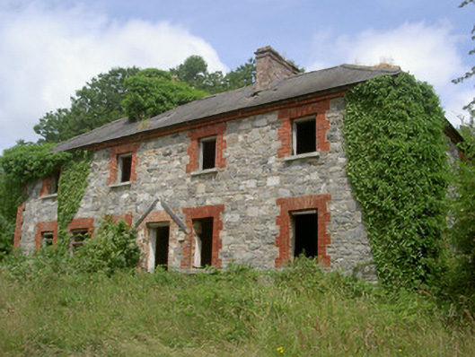 Dungooly Millmiller's house · 547 yd
 Dungooly Bridgebridge · 809 yd
 Holy well in DrumbillaHoly well · 840 yd
 ENCLOSURE in CarriveENCLOSURE · 1132 yd
 Forkhill Greenspace PathwayWalking route · 1719 yd
 CroslieveMountain / peak · 1.0 mi
 Sky HillMountain / peak · 1.1 mi
 Ballsmill Amenity LandPicnic place · 1.2 mi
 Ring of Gullion Way - ForkhillVisitor information · 1.2 mi
 Mass Rock Loop TrailWalking route · 1.3 mi
 Roche CastleCastle, Anglo-Norman masonry castle · 1.9 mi