What is recorded here
Duckstown once held a genuine fairy fort, a circular embankment large enough to circle twice before returning to the start. Ploughs and building has since flattened much of it, but a shallow scarped edge still marks the boundary under the pasture. The fairies did not leave when the earth was disturbed; they simply stopped being visible to people who stopped looking for their shape.
In pasture, on level terrain. Monument, depicted as embanked circular enclosure on 1923 OS 6-inch map, has been levelled. However, it is still evident as roughly circular area (29.5m N-S; 27.5m E-W) defined by scarped edge (H 0.25m; Wth 3.5m) which is best preserved W->NNE. Interior, under pasture, slopes down very gently to W. Recently built house stands 40m to NW.
Compiled by: Denis Power
Date of upload: 26 August 2011
The monument record does not grant public access. Check the route and ask the landowner before entering private land.
- What survives
- Recorded monument
Places near here
 post boxpost box · 279 yd
 Burial GroundGraveyard · 754 yd
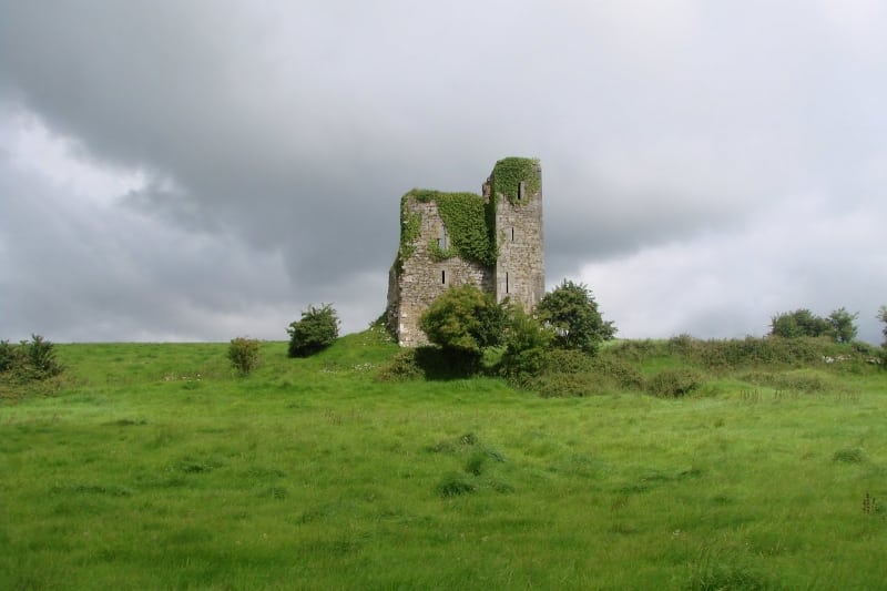 Enclosure in Kilcolman EastEnclosure · 1033 yd
 LaghtpatrickSpring · 1.2 mi
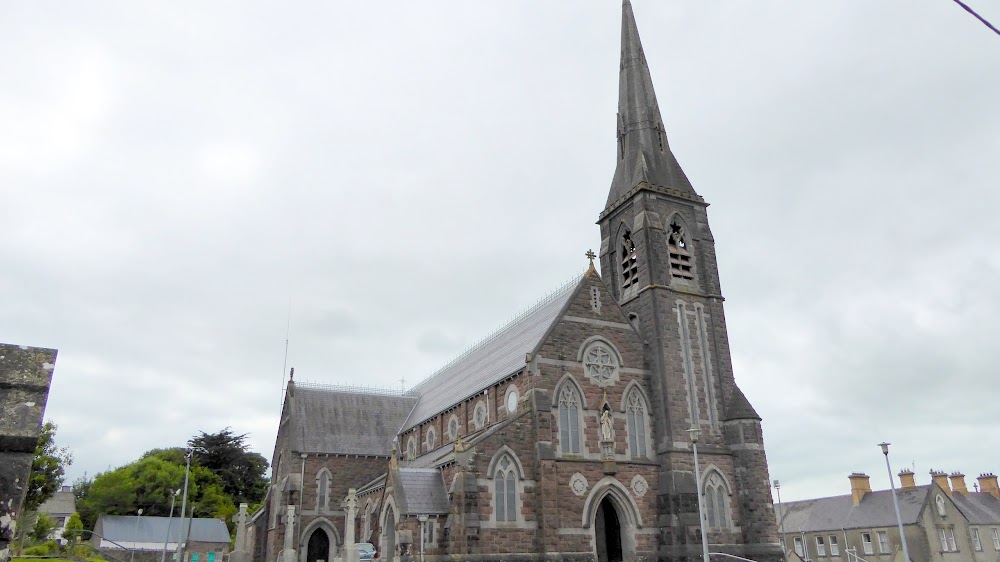 Church (in Ruins)Church · 1.4 mi
 European ashEuropean ash · 1.4 mi
 CastleCastle, tower house · 1.6 mi
 Lady's WellSpring · 1.8 mi
 Hachured (1923).Castle, motte · 2.8 mi
 Famine stoneMemorial · 4.3 mi
 Flat cemetery in CroaghFlat cemetery · 4.8 mi
 KnockfeerinaMountain / peak · 4.9 mi