What is recorded here
Drumury holds a thirty-seven-metre earthen ring where a modern road cuts through the ancient bank. The roadside break exposes the internal chamber, inviting people to walk across a boundary that once required deliberate entry. The waterlogged ditch and solid earth still mark the shape of a place designed to separate inside from outside.
Roughly circular raised area (int. diam. 37m) enclosed by a substantial earthen bank and the remains of a partially waterlogged fosse. Modern roadway divides the site into two almost equal portions with breaks in the bank at NW and SSE. At N a modern trackway has replaced the fosse for a short distance. Original entrance not recognisable.
The above description is derived from the published 'Archaeological Inventory of County Cavan' (Dublin: Stationery Office, 1995). In certain instances the entries have been revised and updated in the light of recent research.
Date of upload/revision: 22 December 2008
The monument record does not grant public access. Check the route and ask the landowner before entering private land.
- What survives
- Recorded monument
Places near here
 Red IslandIslet · 489 yd
 Pottle WoodlandWood · 1.2 mi
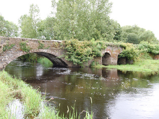 Cloggy Bridgebridge · 1.2 mi
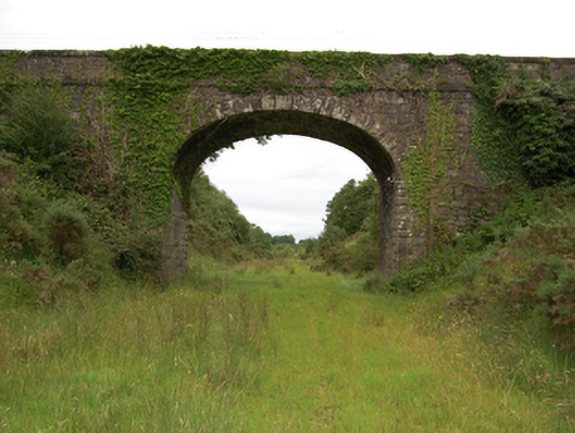 bridgebridge · 1.3 mi
 CloghmoreArchaeological place · 1.4 mi
 Oghill Bog WoodWood · 1.6 mi
 IndicatedEnclosure · 1.7 mi
 DrumcarbanMountain / peak · 1.8 mi
 Bruse HillMountain / peak · 1.9 mi
 Cornafean GFCMemorial · 2.3 mi
 Bawn in CastlepolesBawn · 2.4 mi
 Lismore CastleCastle, unclassified · 2.7 mi