What is recorded here
Fairy stories and human bones both want the dark. That is not a mistake; it is the shape of the world. The chance to witness is not the same as the duty to record every thought that comes up. See what is being asked, answer what is being asked, leave the rest alive.
Located towards the top of the severe S-facing slope of a drumlin. This is a grass and scrub-covered oval area (dims 32m E-W; 25m N-S) defined by a slight, scrub-covered earthen bank (Wth 4.5m; H 0.1m) at E, a round-topped and overgrown earthen bank (Wth 5m; int. H 0.8m; ext. H 0.6m) SW-NW, an overgrown scarp (H 2m) SE-SW, and an internal scarp (H 1.7m) NW-NE. There is no visible fosse or identifiable original entrance.
The above description is derived from 'The Archaeological Inventory of County Leitrim' compiled by Michael J. Moore (Dublin: Stationery Office, 2003). In certain instances the entries have been revised and updated in the light of recent research.
Date of upload: 23 September 2008
The monument record does not grant public access. Check the route and ask the landowner before entering private land.
- What survives
- Recorded monument
Places near here
 Fairy fort / stone ringfort in CleighranFairy fort / stone ringfort · 800 yd
 Corn kilnSweathouse · 1568 yd
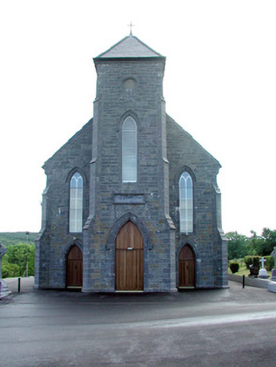 Saint Mary's Catholic Churchchurch/chapel · 1677 yd
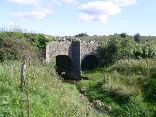 bridgebridge · 1.2 mi
 MoteCastle, motte · 1.3 mi
 CastleCastle, unclassified · 1.4 mi
 Cullentra ForestForest · 2.8 mi
 SlishwoodWood · 2.9 mi
 Trawane BayBay · 3.1 mi
 InnisfreeIslet · 3.2 mi
 Giants GraveArchaeological place · 3.5 mi
 Slishwood Island WestIslet · 3.6 mi