What is recorded here
Drumrackan holds a broad earthen ring beside the Yellow River, its grassy bank and shallow ditch marking a place where people once lived before forgetting its name. The fort faces east on a slight knoll, large enough for fires, tools and argument, yet small enough to disappear into ordinary fields when rain softens the scarps. It is not a fairy tale in structure, though local names often turn human ambition into fairy mischief. The river bend and surviving shape suggest pride, fear and daily labour more than fantasy.
Located on a slight knoll on a SE-facing slope with a bend of the N-S Yellow River c. 40m to the SE. This is a grass and rush-covered circular area (diam. 34.3m ENE-WSW; 31.7m WNW-ESE) defined by an earthen bank (Wth 5.3-5.8m; int. H 0.2m; ext. H 0.8-1.4m) with an external fosse (Wth of top 8.2-12.8; Wth of base 3.5-5m; D 0.2-0.4m) WSW-ENE. The bank is reduced to a scarp (H 1-1.6m) and the fosse to a berm (Wth 4m) elsewhere, while the entrance (Wth 4.5m) is at E.
The above description is derived from 'The Archaeological Inventory of County Leitrim' compiled by Michael J. Moore (Dublin: Stationery Office, 2003). In certain instances the entries have been revised and updated in the light of recent research.
Date of upload: 23 September 2008
The monument record does not grant public access. Check the route and ask the landowner before entering private land.
- What survives
- Recorded monument
Places near here
 IndicatedEnclosure · 1265 yd
 European ashEuropean ash · 1268 yd
 Sweat Ho.Sweathouse · 1.5 mi
 Cromlin Bridge WoodWood · 1.7 mi
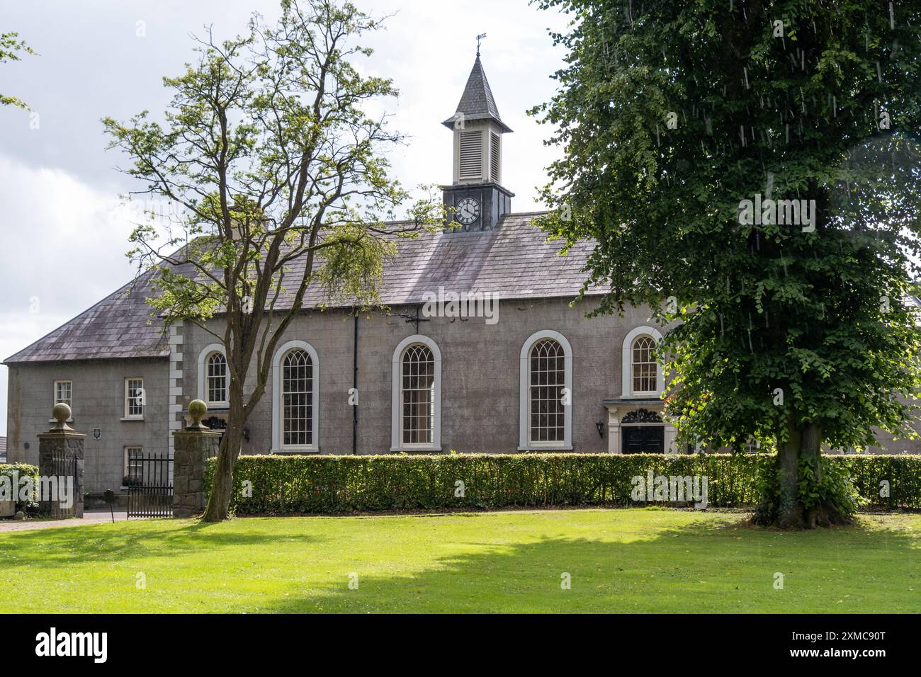 Site of Dernasmallan churchRuins · 1.8 mi
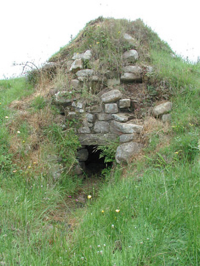 sweat housesweat house · 1.9 mi
 Turf IslandIsland · 1.9 mi
 Crane IslandIslet · 2.1 mi
 DrumbadMountain / peak · 2.5 mi
 CastleCastle, tower house · 3.1 mi
 The UltachsMemorial · 3.3 mi
 Bartonny TopMountain / peak · 3.3 mi