What is recorded here
Fairy fort / earthen ringfort in Drumnagoal is a fairy fort or earthen ringfort in Drumnagoal, County Sligo, Ireland. It occupies the NW end of a low ridge in rough pasture as a raised oval area measuring 41.8m NW-SE and 30.6m NE-SW. Two close-set concentric rings of large slabs and boulders reach a maximum height of 0.6m, though the earth and rubble between them no longer survive. Several gaps punctuate the double kerb, and a single stone set traversally near the northern gap may mark the original entrance.
At the NW end of a low ridge in rough pasture. Raised approximately oval-shaped area (dims. 41.8m NW-SE; 30.6m NE-SW) enclosed by two close-set concentric rings of large slabs and boulders (max H 0.6m). The earth and rubble which presumably occupied the intervening space (Wth. 1.2m - 2m) does not survive. The double kerb is punctuated by a number of gaps of various sizes. From SSW-W-WNW the perimeter has been incorporated into a NW-SE field boundary. At N, adjacent to a wide gap, is a single stone set traversly to the remainder of the kerb stones which may mark the original entrance location.
Compiled by: Patrick F. O'Donovan
Date of upload: 19 January 2011
The monument record does not grant public access. Check the route and ask the landowner before entering private land.
- What survives
- Recorded monument
Places near here
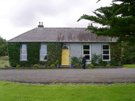 Holy Hill Hermitagehouse · 346 yd
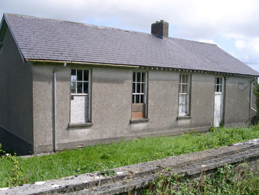 Dromard National Schoolschool · 833 yd
 IndicatedEnclosure · 904 yd
 Holy well in Carrownamaddoo (tireragh By.)Holy well · 947 yd
 Valley WoodForest · 1.9 mi
 Knockalongy North-East TopMountain / peak · 2.0 mi
 Bawn in Longford DemesneBawn · 2.1 mi
 Pigeonpark WoodForest · 2.2 mi
 CloonaghMountain / peak · 2.4 mi
 Giant's GraveArchaeological place · 2.9 mi
 Dunmoran StrandBeach / strand · 3.0 mi
 Bawn in CarrowbrickeenBawn · 3.4 mi