What is recorded here
Half-hidden in a field bank on a west-facing slope in Drummaunroe, the fort keeps its shape in grass and rush rather than stone. Its broad entrance still faces north, inviting people into a circle that may have held homes, herds, or fear of the dark. The fairy name suggests humans saw more life there than architecture alone can explain.
Located towards the top of the W-facing slope of a low rise. This is a grass and rush-covered circular earthen platform (int. diam. 24m N-S; 22.5m E-W) defined by a slight but overgrown earthen bank (Wth 2m; int. H 0.15m; ext. H 0.4m,) which is incorporated into a field bank NNW-E-SSE and reduced to a scarp E-S-N. There is an external fosse (Wth 1.8m; D 0.2-0.8m) SE-S, and a modern entrance (Wth of base 6.5m) at N.
The above description is derived from 'The Archaeological Inventory of County Leitrim' compiled by Michael J. Moore (Dublin: Stationery Office, 2003). In certain instances the entries have been revised and updated in the light of recent research.
Compiled by: Michael Moore
Date of revised upload: 16 October 2019
The monument record does not grant public access. Check the route and ask the landowner before entering private land.
- What survives
- Recorded monument
Places near here
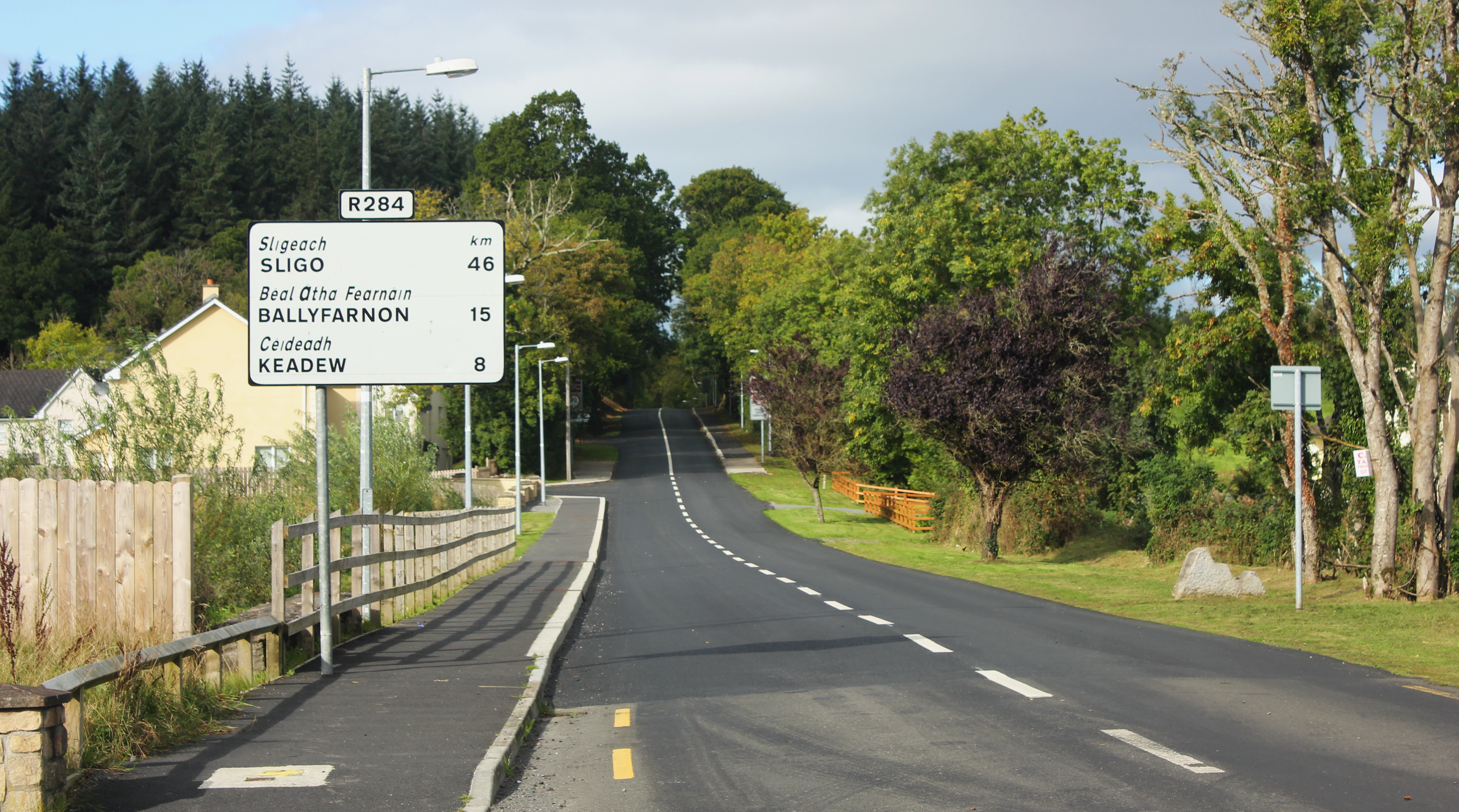 IndicatedFairy fort / earthen ringfort · 646 yd
 Fairy fort / earthen ringfort in AdereenFairy fort / earthen ringfort · 814 yd
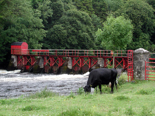 sluice/sluice gatesluice/sluice gate · 1.1 mi
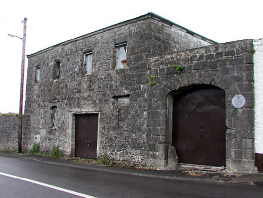 store/warehousestore/warehouse · 1.1 mi
 Moon RiverHeritage attraction · 1.8 mi
 CastlecarraCastle, unclassified · 1.9 mi
 Patrick Gill Memorial Plaque (IRA)Monument · 1.9 mi
 Robert Strawbridge MemorialMemorial · 2.0 mi
 Wildlife AreaNature reserve · 2.1 mi
 Site of Dangan CastleCastle, unclassified · 2.6 mi
 Mullinashee WoodForest · 3.9 mi
 InishmoylinIslet · 4.9 mi