What is recorded here
Mature trees now hide half the thirty-two-metre circle, but a low earthen bank and shallow ditch still mark the edge where human hands shaped Drumlark. The fort has lost much of its clarity to fields and forgetting, yet the surviving curve suggests a place strong enough to be built, defended, and remembered. What is missing has not stopped the land from keeping its shape.
A much-disturbed, raised circular area (int. diam. c. 32m) enclosed by a low earthen bank identifiable only from NNE-S-SSW, and a fosse discernible only at E. A field boundary running N-S divides the site into two unequal portions. The smaller portion W of this is the site of a plantation of mature deciduous trees.
The above description is derived from the published 'Archaeological Inventory of County Cavan' (Dublin: Stationery Office, 1995). In certain instances the entries have been revised and updated in the light of recent research.
Date of upload/revision: 22 December 2008
The monument record does not grant public access. Check the route and ask the landowner before entering private land.
- What survives
- Recorded monument
Places near here
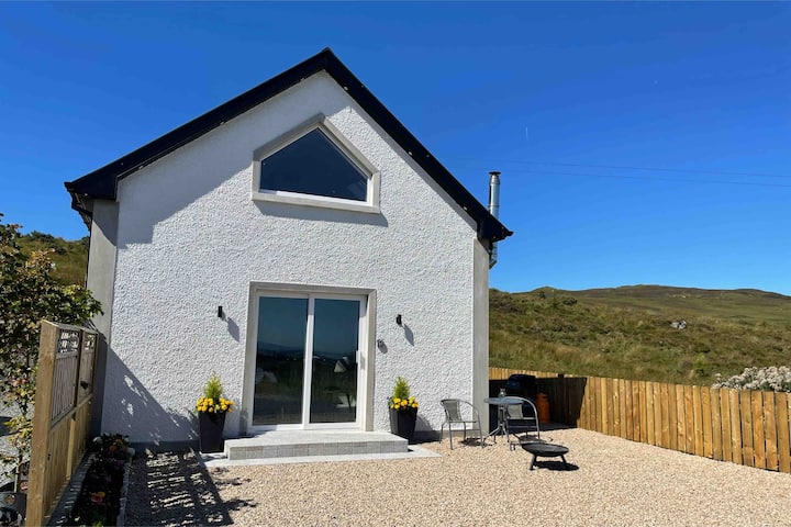 Drumkeen House WoodlandWood · 219 yd
 Ice HouseArchaeological place · 512 yd
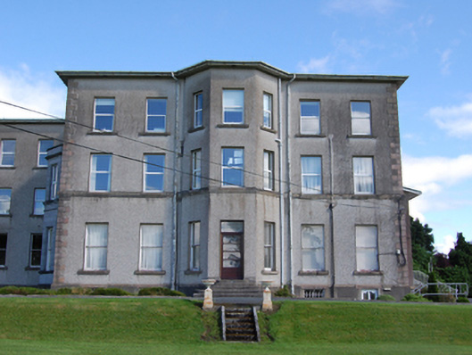 Loreto Collegecountry house · 596 yd
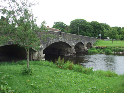
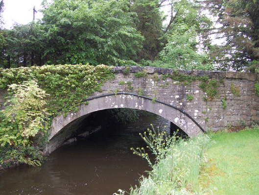 bridgebridge · 665 yd
 Enclosure in Carrickane,tullyloughEnclosure · 1209 yd
 BillisMountain / peak · 1.3 mi
 Skin-em-alive WoodWood · 1.4 mi
 Rambling at Farnham EstateVisitor information · 1.6 mi
 Bawn in FarnhamBawn · 1.6 mi
 Owen Roe O'Neill graveMemorial · 1.7 mi
 Derrygarra UpperMountain / peak · 1.7 mi
 CastleCastle, unclassified · 1.8 mi