What is recorded here
Fairy fort in Druming, County Longford: a 26m earthen ring on a low pasture rise, with stone-and-earth bank at NW, scarp elsewhere, shallow fosse and outer bank. The north edge leans on a natural steep slope, and the east entrance recorded in 1976 still suggests the shape of entry. Cattle may have walked around it for centuries, unaware they were grazing the edge of an old human dwelling.
On a low rise in pasture. A raised circular area (diam. c. 26m) enclosed at NW by the remains of a bank of earth and stone (Wth 1.7-1.8m; H 0.2m) and elsewhere defined by a scarp (H 1.2-2m). A shallow intervening fosse (Wth c. 2.5m; D 0.25m) and an outer bank (Wth 2.2m; H 0.2m) are evident except at N where there is a steep, naturally occurring slope. A report in 1976 (SMR file) recorded that the original entrance was at E.
Compiled by: Patrick F. O'Donovan
Date of upload: 11 January 2011
The monument record does not grant public access. Check the route and ask the landowner before entering private land.
- What survives
- Recorded monument
Places near here
 Ritual siteRitual site, holy tree/bush · 358 yd
 FortsFairy fort / earthen ringfort · 393 yd
 Druming Ho. (in ruins)Castle, unclassified · 533 yd
 gates/railings/wallsgates/railings/walls · 926 yd
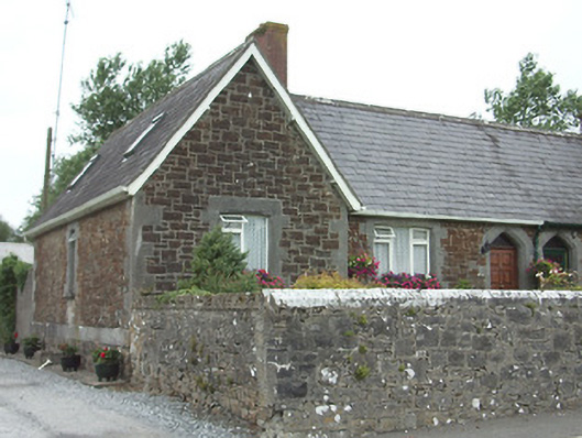 worker's houseworker's house · 1010 yd
 Ardagh DemesneFort · 1.1 mi
 National Famine WayWalking route · 2.6 mi
 Graveyard in Curry (ardagh By., Coolamber Ed)Graveyard · 5.5 mi
 First World War MemorialMemorial · 6.2 mi
 Saint Mel's CathedralCathedral · 6.2 mi
 Leveret IslandIslet · 11 mi
 Granard MotteMotte-and-bailey castle remains · 11 mi