What is recorded here
The fairy fort in Drumgill stands at the top of a hill near a wood, marked by three earthen banks and two deep ditches. Its eastern entrance uses causeways across the ditches, while a shadowy hole near the inner wall hints at a hidden passage though no stone shows. People may have lived, hidden or worshipped there before written memory, shaping the earth into a small defensible world.
Situated at the summit of a hill and at the SW edge of a deciduous wood. This is a subcircular area (dims 39m N-S; 35m E-W) that slopes down slightly to the E. It is defined by an earthen bank (Wth of base 6-8m; int. H 0.7-1.3m; ext. H 2.3m at SE to 3.2m at SW) separated by a fosse (Wth of top 6-7.5m; Wth of base 1.2-2m; ext. D 1.7-2.8m) from an outer bank (Wth of base 8-8.5m; ext. H 2.2m at SE to 3.8m at NW). This in turn is separated by a fosse (Wth of top 6.5-7m; Wth of base 1.5-2m; ext. D 0.9-1.2m) from a third outer bank (Wth of base 3-5m; ext. H 1m) and an outer field drain (Wth of base 0.9m; ext. D 0.7m) that is only evident NW-E-SE. There is a berm (max. Wth 4.5m) between the inner fosse and the middle bank SE-SW. The entrance through the inner (Wth of base 2.2m), middle (Wth of base 2.1m) and outer (Wth of base 1.8m) banks is at ESE with causeways (Wth of top 3.5m; H 0.8m) over both fosses. Inside the inner bank at NW is a depression (dims 6m NNE-SSW; c. 1.5m E-W; D c. 0.8m) with a spur (dims 5.5m WNW-ESE; c. 1.5m N-S) off the S end which might be a Man-made underground passage although no stone is evident. Rath (ME002-001----) is c. 150m to the NW.
The above description is derived from the published 'Archaeological Inventory of County Meath' (Dublin: Stationery Office, 1987). In certain instances the entries have been revised and updated in the light of recent research.
Compiled by: Michael Moore
Date of revision: 31 August 2018
Amended: 14 December 2022
The monument record does not grant public access. Check the route and ask the landowner before entering private land.
- What survives
- Recorded monument
Places near here
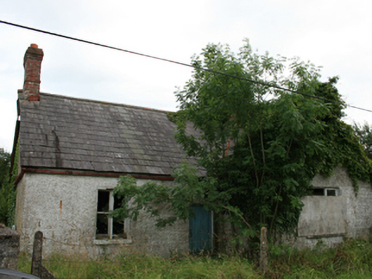 Cabra Castlegate lodge · 723 yd
 Kingscourt Railway Stationrailway station · 935 yd
 BarleyhillMountain / peak · 1038 yd
 CabraMountain / peak · 1547 yd
 Natural Play AreaMemorial · 1638 yd
 Dún a Rí Forest ParkForest · 1664 yd
 In Memory of Our DadMemorial · 1698 yd
 Castle ruinsCastle, unclassified · 1.1 mi
 Ice HouseArchaeological place · 1.1 mi
 Horse-chestnutHorse-chestnut · 1.3 mi
 ToberarneyHoly well · 1.3 mi
 Castle in ruinsCastle, unclassified · 3.5 mi