What is recorded here
Drumgerd holds a wide circular fort with two earthen banks and a waterlogged ditch between them. Its southern causeway still marks the entrance, while a modern bank covers part of the old ditch. The clear shape suggests people lived, worked and defended themselves inside the ring, even if fairy names now fly around it.
Raised circular area (int. diam. 38.5m) enclosed by two substantial earthen banks with wide, deep, partly waterlogged intermediate fosse. Outer bank identifiable from NW-E-SW. From SW-NW a modern earthen bank has been constructed along the base of the fosse. Wide break in bank with accompanying causeway at S represents original entrance.
The above description is derived from the published 'Archaeological Inventory of County Cavan' (Dublin: Stationery Office, 1995). In certain instances the entries have been revised and updated in the light of recent research.
Date of upload/revision: 22 December 2008
The monument record does not grant public access. Check the route and ask the landowner before entering private land.
- What survives
- Recorded monument
Places near here
 Creenagh GlebeMountain / peak · 785 yd
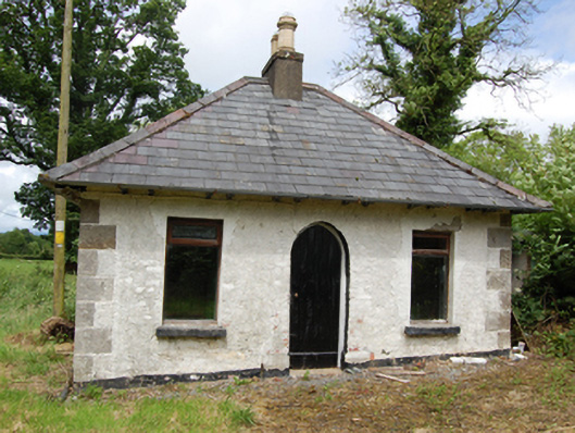 Tully Housegate lodge · 956 yd
 Drumgoon Bog WoodForest · 1362 yd
 AghnacorMountain / peak · 1759 yd
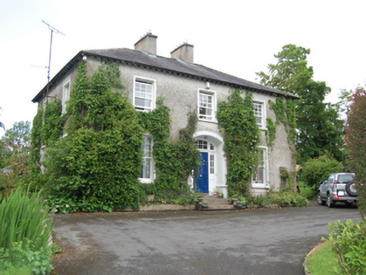 rectory/glebe/vicarage/curate's houserectory/glebe/vicarage/curate's house · 1.4 mi
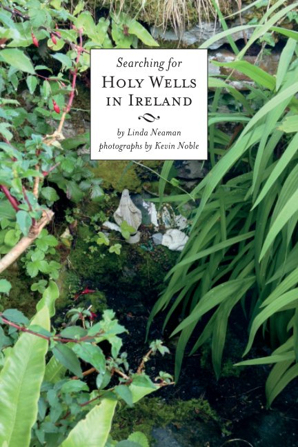 Holy WellHoly well · 1.7 mi
 Grave YardEcclesiastical enclosure · 1.7 mi
 Inch IslandIslet · 2.1 mi
 Killeshandra Irish Countrywomen's Association 70th AnniversaryMemorial · 2.1 mi
 Castlehamilton DemesneForest · 2.2 mi
 Killykeen Forest ParkForest · 2.4 mi
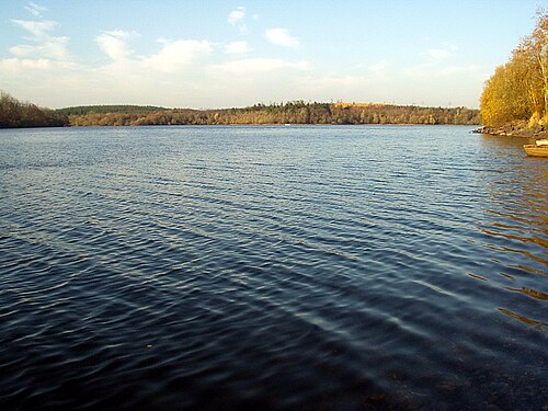 Lough OughterLake and island landscape · 2.4 mi