What is recorded here
No visible entrance or unbroken rampart is needed to imagine the fort complete. The south slope, missing bank and buried gate may simply belong to a shape that stops resisting observation. What is recorded is a small oval on a ridge, with soil, stone and shadow arranged around a hidden centre.
Situated just off the S end of the summit of a short NW-SE drumlin ridge. This is a grass and scrub-covered oval area (diam. 39.5m E-W: 34m N-S; int. diam. 30m N-S) that slopes down steeply to the S (H 3m), which is defined by an overgrown earthen bank (at N: Wth 7m; int. H 1.4m; ext. H 1.5m) with outer stone-facing and traces of a slight fosse or drain (at N: ext. D 0.3m) W-NNE. The bank is removed NNE-SE and reduced to a scarp (at S: Wth 4m; H 2.4m) SE-W. The original entrance is not identified.
The above description is derived from the published 'Archaeological Inventory of County Monaghan' (Dublin: Stationery Office, 1986). In certain instances the entries have been revised and updated in the light of recent research.
Date of revision: 27 June 2017
The monument record does not grant public access. Check the route and ask the landowner before entering private land.
- What survives
- Recorded monument
Places near here
 Fulacht fia in Drumgeeny (farney By)Fulacht fia · 589 yd
 Man-made underground passage in AclintMan-made underground passage · 725 yd
 CastleCastle, motte and bailey · 775 yd
 Flat cemetery in AnnaheanFlat cemetery · 1449 yd
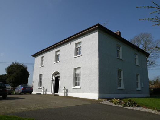 Annahean Househouse · 1509 yd
 mill (water)mill (water) · 1.5 mi
 Lagan castleCastle, tower house · 1.8 mi
 Matthew's HillMountain / peak · 3.8 mi
 Long PlantationForest · 4.3 mi
:no_upscale()/cdn.vox-cdn.com/uploads/chorus_asset/file/25593391/County_Louth_6th.jpg) LouthMountain / peak · 4.5 mi
LouthMountain / peak · 4.5 mi Monkey-puzzleMonkey-puzzle · 4.6 mi
 Sir Frederick Foster MemorialMemorial · 6.3 mi