What is recorded here
Located In deciduous woodland on an E-facing slope towards the S end of a NNW-SSE drumlin ridge. This is a circular grass-covered area (int. diam. 31.6m E-W; 29.2m N-S) planted with deciduous trees, which is defined by an earthen bank (Wth of base 6.8-10m; int. H 0.4-0.6m; ext. H 2.5-2.6m) and an external flat bottomed fosse (Wth of top 8.6-9m; Wth of base 2.2-2.8m; ext. D 0.6m) surviving in its original form E-SW. The bank and fosse are truncated by a N-S field bank at W, reducing the perimeter here to a scarp (Wth 1.5m; H 1.3m), and the fosse was re-dug (at N: Wth of top 9.3m; Wth of base 3.8m; ext. D 2m) and the spoil added to the bank (at N: Wth of base 12.6m; int. H 2m; ext. H 3.8m) NW-E before the trees were planted (max. ext. dims 59m N-S; 47m E-W). The entrance (Wth of base 2.5m) and causeway (Wth of top 3.5m) are at E. The re-digging of the fosse might date from the 1940s when it was used as a military camp (SMR file).
The above description is derived from 'The Archaeological Inventory of County Leitrim' compiled by Michael J. Moore (Dublin: Stationery Office, 2003). In certain instances the entries have been revised and updated in the light of recent research.
Compiled by: Michael Moore
Date of revised upload: 14 October 2019
The monument record does not grant public access. Check the route and ask the landowner before entering private land.
- What survives
- Recorded monument
Places near here
 Common LimeCommon Lime · 205 yd
 Drumergoole WoodForest · 234 yd
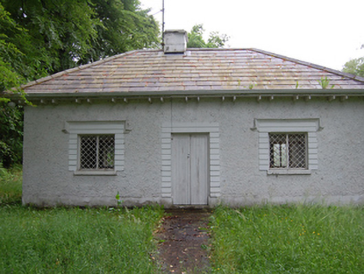 Killegar Housegate lodge · 540 yd
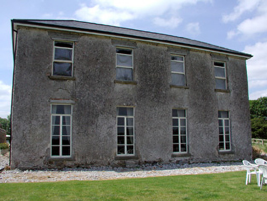 Kilbrackan Housecountry house · 1283 yd
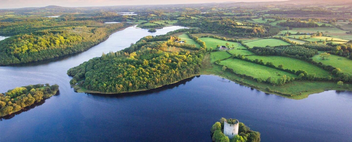 IndicatedFairy fort / ringfort · 1530 yd
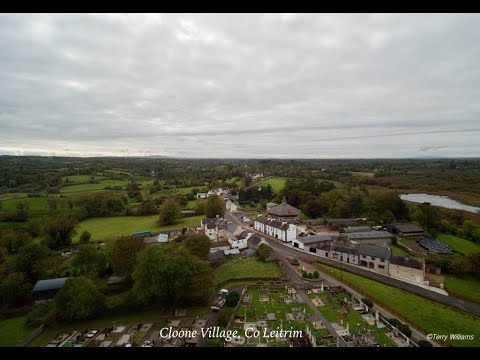 Enclosure in DrumhalryEnclosure · 1.8 mi
 King's GraveArchaeological place · 2.2 mi
 CorradarrenMountain / peak · 2.2 mi
 DrumbreanlisMountain / peak · 2.6 mi
 Killeshandra Irish Countrywomen's Association 70th AnniversaryMemorial · 2.9 mi
 Inch IslandIslet · 4.6 mi
 Woodenhouse BayBay · 4.7 mi