What is recorded here
Fairy fort / earthen ringfort in Drumee is a fairy fort or earthen ringfort in Drumee, County Sligo, Ireland. It occupies an east-facing slope below a high ridge summit. Two earthen banks surround a central area, while a narrow channel runs between them. Field boundaries now cover parts of the outer bank.
On an E-facing slope, just below the summit of a high ridge. A raised circular area (int. diam. 21m) enclosed by two earthen banks and an intervening fosse. The inner bank (Wth 3.6m; int. H 0.6m; ext. H 1.4m) has gaps at NW (Wth 1.4m) and SE (Wth 2.5m). The outer bank (Wth c. 2m; ext. H c. 0.4m) is evident E-SW and NNW-NNE, incorporated into field boundaries elsewhere. The fosse (Wth 3m; D 0.4m) is choked by a dense growth of rushes. An E-W stone field boundary crosses the S half of the interior.
The above description is derived from the published 'Archaeological Inventory of County Sligo' compiled by Ursula Egan, Elizabeth Byrne, Mary Sleeman with Sheila Ronan and Connie Murphy (Dublin Stationery Office, 2005).
Date of upload: 18 January 2008
The monument record does not grant public access. Check the route and ask the landowner before entering private land.
- What survives
- Recorded monument
Places near here
 Ballysumaghan Ch. (in Ruins)Church · 653 yd
 Enclosure in Lavally (tirerrill By.)Enclosure · 794 yd
 Indicated (1838).Fairy fort / earthen ringfort · 862 yd
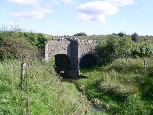 bridgebridge · 1.0 mi
 CastleCastle, unclassified · 1.4 mi
 Coola Castle (in Ruins)Bawn · 1.5 mi
 Giants GraveArchaeological place · 2.3 mi
 SlishwoodWood · 3.7 mi
 Riverstown Folk ParkHeritage attraction · 3.7 mi
 Field MapleField Maple · 4.0 mi
 Slishwood Island WestIslet · 4.4 mi
 Bunowen BayBay · 4.5 mi