What is recorded here
No visible entrance exists in the 48-metre circle, yet the missing gap suggests a doorway hidden beneath grass and time. The fort sits at the north end of a drumlin ridge like a seat reserved for guests who never arrive. Its bank rises one metre on the outside but collapses to a shallow scarp on the east, as if the earth forgot half the wall. A person could walk the perimeter and feel the shape resisting measurement, not because it is small, but because it withholds the one fact that would make it ordinary.
Located just off the crest at the N end of a N-S drumlin ridge. This is a grass-covered circular area (int. diam. 48m N-S; 47m E-W) defined by an overgrown earthen bank (at N: Wth of base 3.5m; int. H 0.4m; ext. H 1.2m) with an external fosse (Wth of base 1m; ext. D 1m) which can only be seen N-NE, while the bank is reduced to a scarp (at E: Wth 5.9m; H 1m) NE-SE. The perimeter is overgrown elsewhere, and the original entrance is not identified.
The above description is derived from 'The Archaeological Inventory of County Leitrim' compiled by Michael J. Moore (Dublin: Stationery Office, 2003). In certain instances the entries have been revised and updated in the light of recent research.
Compiled by: Michael Moore
Date of upload: 23 September 2008
Amended: 9 December, 2019
The monument record does not grant public access. Check the route and ask the landowner before entering private land.
- What survives
- Recorded monument
Places near here
 St. Patricks WellHoly well · 661 yd
 European YewEuropean Yew · 1.4 mi
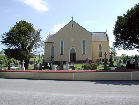 Saint Mary's Catholic Churchchurch/chapel · 1.4 mi
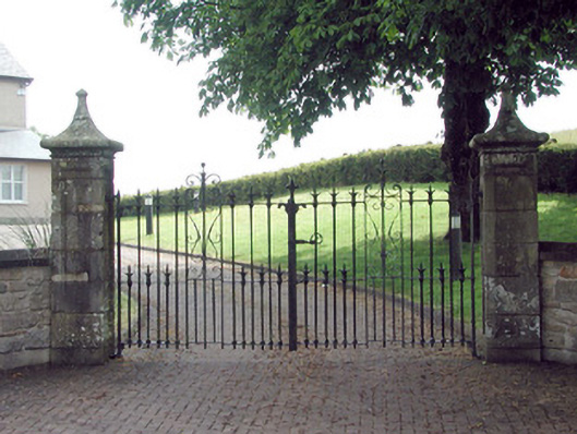 gates/railings/wallsgates/railings/walls · 1.5 mi
 CornaferstMountain / peak · 1.8 mi
 DrumbreanlisMountain / peak · 1.9 mi
 IndicatedEnclosure, large enclosure · 1.9 mi
 King's GraveArchaeological place · 2.3 mi
 North Midland Transport CollectionMuseum · 3.3 mi
 Ticosker WoodWood · 3.6 mi
 Giant's GraveArchaeological place · 4.4 mi
 CastleBawn · 5.7 mi