What is recorded here
Mortons example of an Irish ringfort. A raised circular area, about eighteen metres across, still stands within a broken earthen bank. The wide northern gap marks the entrance, while the remaining ridge and shallow ditch outline the shape of a home or stronghold lost to time.
Raised circular area (int. diam. 18.6m) enclosed by a low earthen bank which survives only from W-N-NE, and a fosse identifiable from NW-N. Elsewhere the internal area is defined by a low scarp. Very wide break in perimeter at NE presumably represents original entrance.
The above description is derived from the published 'Archaeological Inventory of County Cavan' (Dublin: Stationery Office, 1995). In certain instances the entries have been revised and updated in the light of recent research.
Date of upload/revision: 22 December 2008
The monument record does not grant public access. Check the route and ask the landowner before entering private land.
- What survives
- Recorded monument
Places near here
 Hilltop enclosure in DrumacleeskinHilltop enclosure · 970 yd
 CorrakeeranMountain / peak · 1078 yd
 Ceremonial enclosure in NeddaiaghCeremonial enclosure · 1207 yd
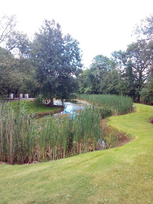 ClaraghMountain / peak · 1729 yd
 Drumcarn Ho.Castle, unclassified · 1.2 mi
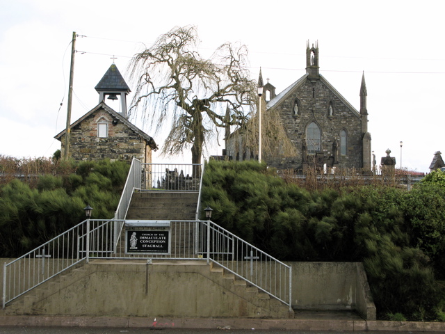 Church in MagherintempleChurch · 1.7 mi
 Killoughter Church of Ireland Churchchurch/chapel · 1.7 mi
 StoneparkWood · 1.9 mi
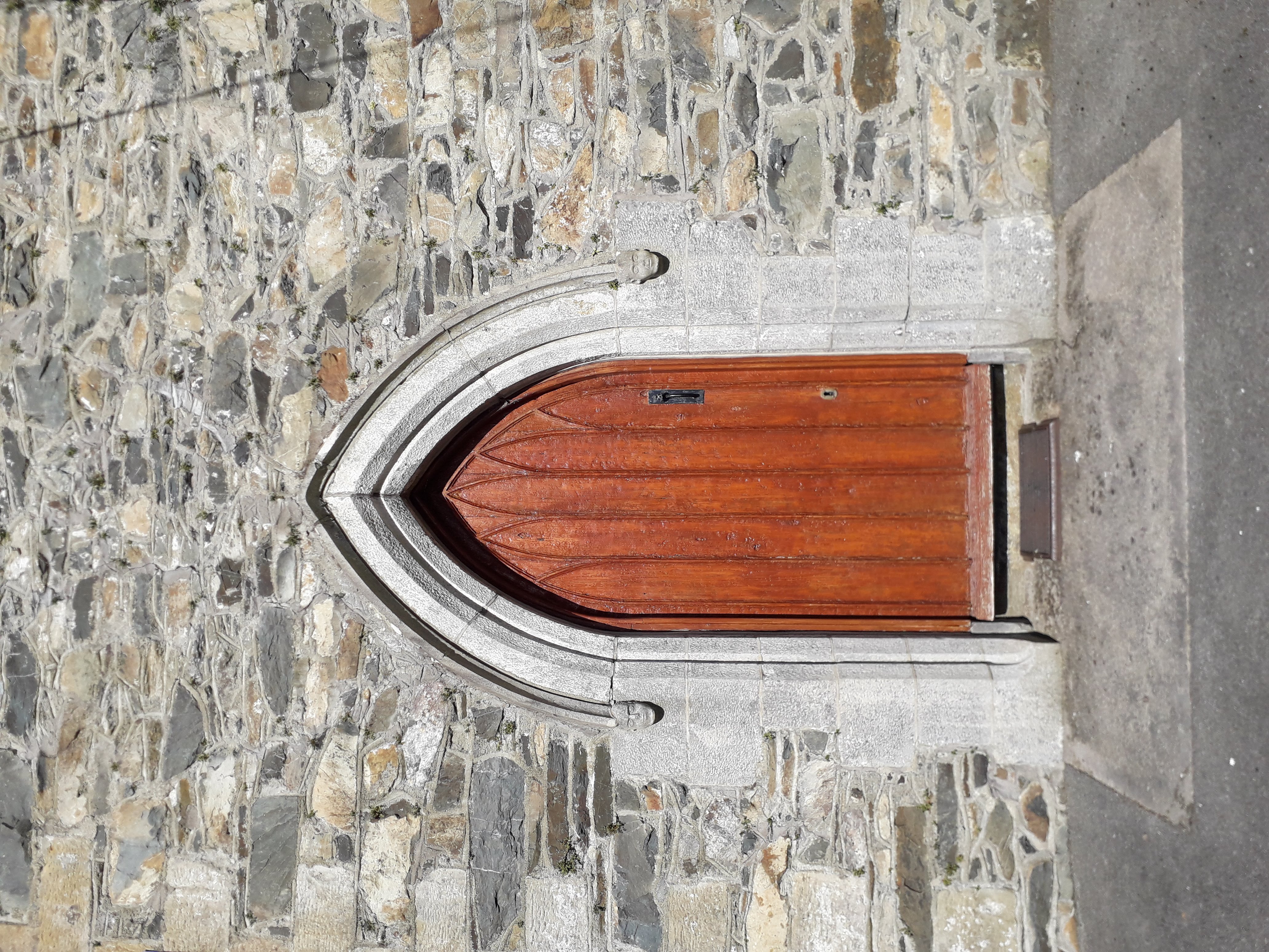 KilloughterWood · 2.0 mi
 Embanked enclosureBawn · 2.4 mi
 Garden IsleIslet · 3.2 mi
 Giant's GraveArchaeological place · 3.6 mi