What is recorded here
On the N-facing slope of a low ridge, in undulating pasture. An oval area (int. diam. 14.5m N-S; 18.5m E-W) enclosed by an eroded earthen bank (Wth 2m; int. H 0.6m; ext. H 0.7m), best preserved along the W arc. The entrance (Wth 2m) is at W. An E-W field boundary crosses the S half of the interior.
The above description is derived from the published 'Archaeological Inventory of County Sligo' compiled by Ursula Egan, Elizabeth Byrne, Mary Sleeman with Sheila Ronan and Connie Murphy (Dublin Stationery Office, 2005).
Date of upload: 18 January 2008
The monument record does not grant public access. Check the route and ask the landowner before entering private land.
- What survives
- Recorded monument
Places near here
 Enclosure in DrumcondraEnclosure · 275 yd
 Drumcondra Castle (in Ruins)Castle, tower house · 642 yd
 Enclosure in RathmoneyEnclosure · 736 yd
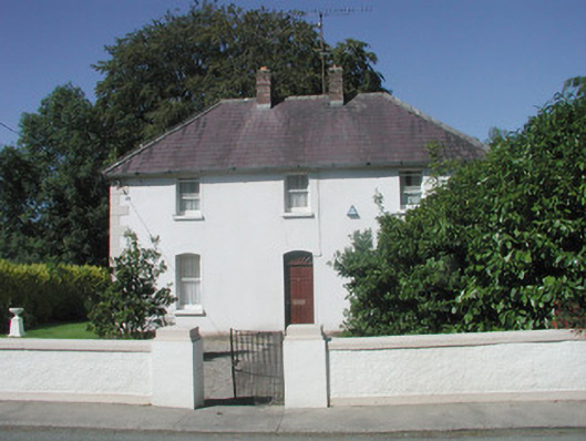 The Presbyterypresbytery/parochial/curate's house · 1079 yd
 Saint Teresa's Catholic Churchchurch/chapel · 1095 yd
 CastleCastle, unclassified · 1409 yd
 Giants GraveArchaeological place · 1.3 mi
 SlishwoodWood · 2.2 mi
 Slishwood Island WestIslet · 2.8 mi
 Bunowen BayBay · 2.8 mi
 Slishwood Island EastIslet · 2.9 mi
 Field MapleField Maple · 3.5 mi