
What is recorded here
In pasture, located on the gentle S-facing slope of an E-W ridge, bordering the N side of a small, shallow valley. Two raths are located immediately upslope, crowning the top of the ridge, one (MA021-074----) 25m to N, and the other (SL021-075----) 40m to NNE. A third rath (SL021-076----) is located 90m to SSE on top of the low ridge which defines the S side of the valley. An E−W drain cuts through the wet, rushy ground in the base of the valley.
This enclosure is not indicated on the 1836 and 1913 OS 6-inch maps. It is visible on current aerial mapping. It consists of a circular area (30m E−W; 28m N−S) defined by a levelled bank. At ground level the bank can be traced as a barely discernible, broad low undulation (Wth 3.4-4m). It is almost entirely obliterated at E. Outside the bank on the W−N there is a hint of a depression/cropmark (Wth c. 3m), marked by soft, poached ground and a growth of yellower grass; this may indicate an enclosing fosse. The interior is not raised relative to exterior ground level; it mirrors the natural contours of the ridge slope, exhibiting a gentle slope down from N to centre, where it levels out.
Although located in close proximity to three raths, this enclosure differs from them in its siting and morphology: it is located on the slope rather than on top of the ridge, and its interior is not raised relative to exterior ground level. It may be a rath or it may be an enclosure dating to an earlier period.
Attached images:
SL021-215---_01.JPG -viewed from E
SL021-215---_01.JPG -viewed from S, with two raths (SL021-074----; SL021-075----) on crest of ridge in background.
Compiled by: Jane O’Shaughnessy
Date of upload: 16 November 2018
The monument record does not grant public access. Check the route and ask the landowner before entering private land.
- What survives
- Recorded monument
Places near here
 Drumcondra Castle (in Ruins)Castle, tower house · 612 yd
 Enclosure in DrumcondraEnclosure · 678 yd
 Sweat HouseSweathouse · 815 yd
 Saint Teresa's Catholic Churchchurch/chapel · 1635 yd
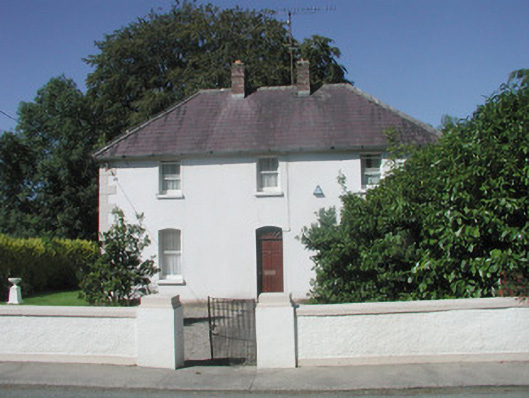 The Presbyterypresbytery/parochial/curate's house · 1641 yd
 Giants GraveArchaeological place · 1.1 mi
 CastleCastle, motte · 1.5 mi
 SlishwoodWood · 2.6 mi
 Slishwood Island WestIslet · 3.1 mi
 Bunowen BayBay · 3.1 mi
 Field MapleField Maple · 3.2 mi
 Slishwood Island EastIslet · 3.2 mi
Other information
Photo: Credit not shown in the picture search · Rights wording not checked; contact us if this picture should be removed