
What is recorded here
In pasture, recessed into the N-facing slope of a natural rise, immediately S of a stream. Not marked on the 1838 edition of the OS 6-inch map. Remains comprise a roughly D-shaped drystone chamber (int. dims: 1.2m N-S; 1.75m E-W; H 1.7m) with a corbelled roof. The exterior surface of the roof is sod-covered. There is a low lintelled doorway (Wth 0.41m; H 0.77m) in the straight N facade (H 1m) opening into the NW side of the chamber which is recessed into rising ground. The basal course of the internal walls incorporates a series of upright slabs interspersed with roughly coursed masonry. The floor is flat and gravelly but strewn with stones. In front of the doorway is a courtyard (SL021-066002-). It is small (2.24m N-S; 1.5m E-W) and is defined on W, E and N sides by upright contiguous slabs that were considered by Weir (1979, 196) to form part of a megalithic tomb but this is most unlikely. There are three slabs on the W side, four on the E side and a single large slab defining the N side with an entrance gap (Wth 0.8m) at NE. According to the landowner, a fire was lit in the structure and allowed to smoulder for several days until the stone walls had absorbed sufficient heat. Then the fire was removed and the sweathouse was ready for use. The doorway was covered and if desired water could be sprayed on the walls to create steam. A small air vent built into the internal wall of the structure prevented suffocation during use. The adjacent stream could be used to cool down. (Weir 1979, 196)
Compiled by: Archaeological Survey Unit, UCC with revisions by Patrick F. O'Donovan and Paul Walsh
Date of upload: 20 June 2011
The monument record does not grant public access. Check the route and ask the landowner before entering private land.
- What survives
- Recorded monument
Places near here
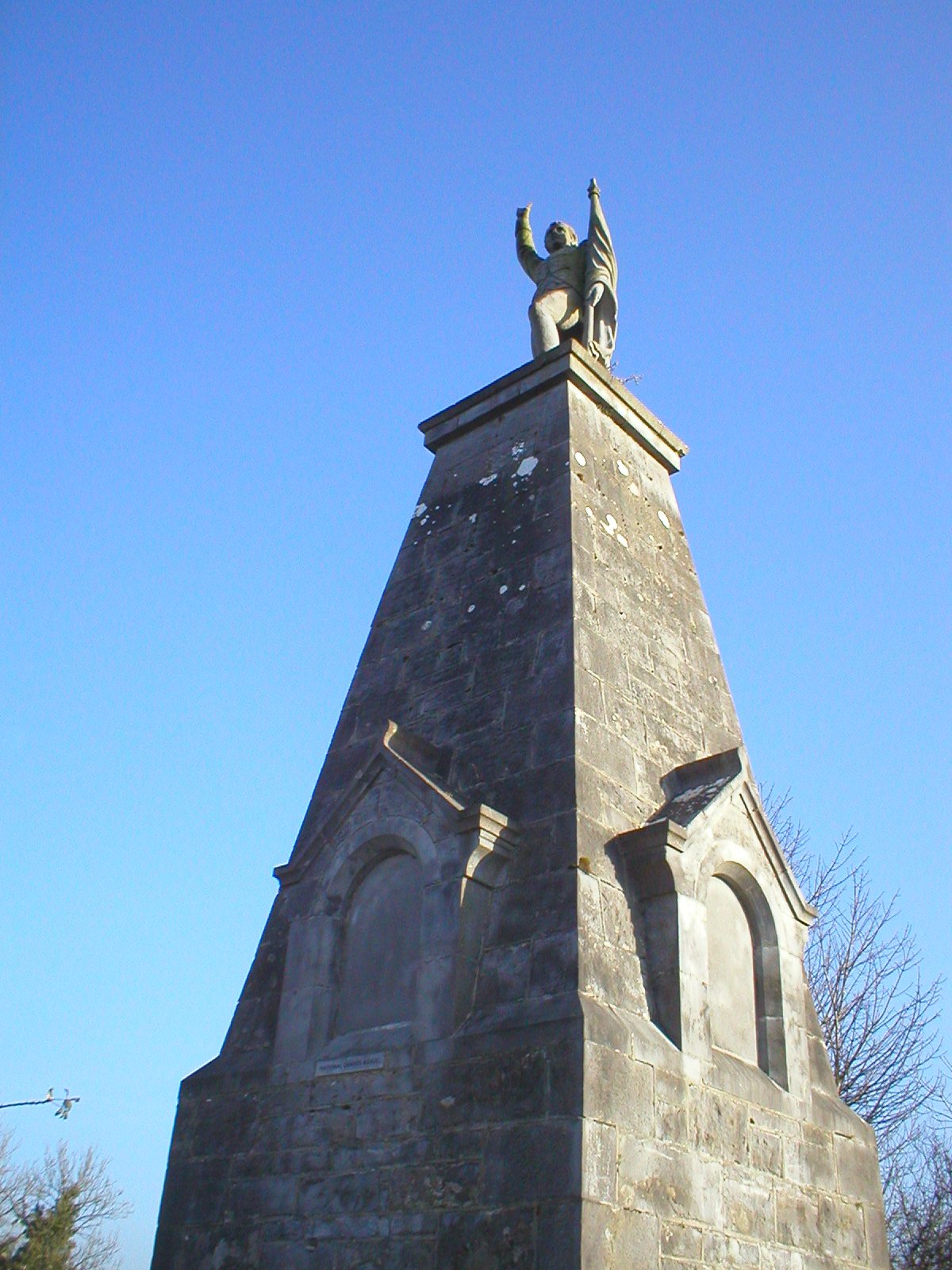 Man-made underground passage in Carricknagat (tirerrill By.)Man-made underground passage · 170 yd
 Lissergloon (Site of)Fairy fort / earthen ringfort · 616 yd
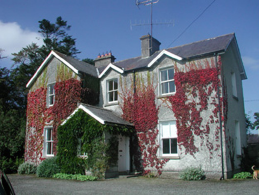 The Old Rectoryrectory/glebe/vicarage/curate's house · 1092 yd
 Drumcondra Castle (in Ruins)Castle, tower house · 1201 yd
 Castle Neymoecountry house · 1265 yd
 Giants GraveArchaeological place · 1440 yd
 CastleCastle, motte · 1.2 mi
 Field MapleField Maple · 2.8 mi
 SlishwoodWood · 2.9 mi
 Slishwood Island WestIslet · 3.4 mi
 Bunowen BayBay · 3.4 mi
 Slishwood Island EastIslet · 3.6 mi
Other information
Photo: Credit not shown in the picture search · Rights wording not checked; contact us if this picture should be removed