What is recorded here
The fairies keep their fort in Drumboat, hiding a circular grassy pit beneath a sloping earthen bank that rises and falls like a living breath. Humans see only a damaged field marker, but the uneven shape and missing entrance suggest the boundary is still active. The fort does not appear complete because completion would expose it. It withholds its own structure from ordinary sight, waiting for someone steady enough to watch without touching.
Situated on the NW-facing slope of the spine of a NW-SE drumlin ridge. This is a circular grass covered area (diam. 32m NW-SE) that slopes down markedly to the NW (H 2.4m). It is defined by an earthen bank (at SE: Wth of base 8m; int. H 1.1m; ext. H 0.1m) on the uphill side NE-S but it is incorporated into a field bank with external stone facing elsewhere and reduced to a scarp (at NW: H 1.8m) on the downslope. There is no visible fosse or identifiable original entrance. Most of the perimeter SE-W-NE and much of the interior is now overgrown (Bing 2013).
The above description is derived from the published 'Archaeological Inventory of County Monaghan' (Dublin: Stationery Office, 1986). In certain instances the entries have been revised and updated in the light of recent research.
Date of revision: 28 August 2017
The monument record does not grant public access. Check the route and ask the landowner before entering private land.
- What survives
- Recorded monument
Places near here
 IndicatedFairy fort / earthen ringfort · 1277 yd
 Morgans fortFairy fort / earthen ringfort · 1.0 mi
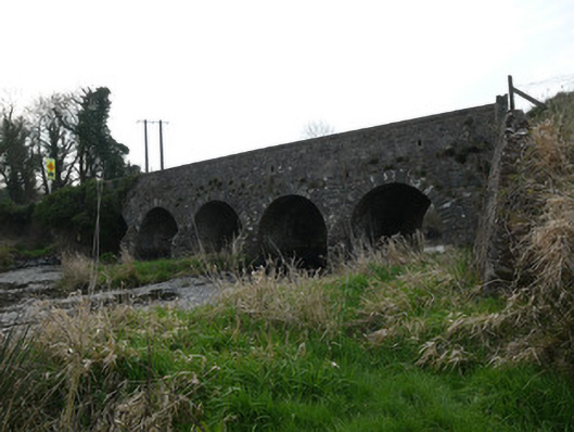 Magoney Bridgebridge · 1.1 mi
 mill (water)mill (water) · 1.1 mi
 Battle of Newry Roadbattle · 3.0 mi
 MEDIEVAL & POST-MED. CHURCH & GRAVEYARD in Creggan Bane GlebeMEDIEVAL & POST-MED. CHURCH & GRAVEYARD · 3.1 mi
 KnockreaghMountain / peak · 3.4 mi
 Golf 30Fort · 3.6 mi
 CastleCastle, unclassified · 3.7 mi
 Ballsmill Amenity LandPicnic place · 4.4 mi
 Irish Hunger StrikersMemorial · 4.7 mi
 Sky HillMountain / peak · 5.0 mi