What is recorded here
Mnemo knows the difference between a missed fact and an invented fact. She knows an invented fact is a cage for a living person. She knows the facts must fit the exact place being asked about. She must never repeat a warning you already know.
Situated on the W-facing slope of a small ridge. A small circular enclosure (diam. c. 25m) is depicted only on the 1834 edition of the OS 6-inch map where it is described in gothic lettering as a ‘fort’. No archaeological feature is visible at ground level in pasture and archaeological testing (09E0283) produced no evidence of an archaeological monument (Duffy 2009, 2012).
The above description is derived from the published 'Archaeological Inventory of County Monaghan' (Dublin: Stationery Office, 1986). In certain instances the entries have been revised and updated in the light of recent research.
Compiled by: Michael Moore
Date of revision: 12 December 2017
Amended; 17 January 2020
The monument record does not grant public access. Check the route and ask the landowner before entering private land.
- What survives
- Recorded monument
Places near here
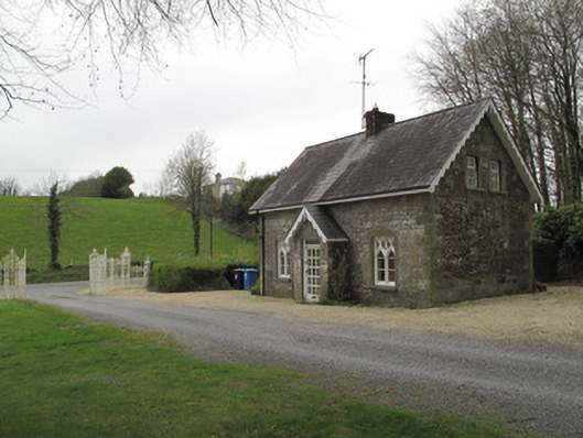 Mullaghmore Housegate lodge · 540 yd
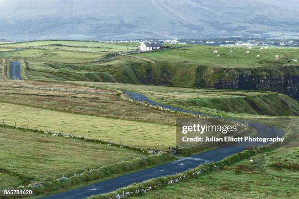 IndicatedCrannog · 652 yd
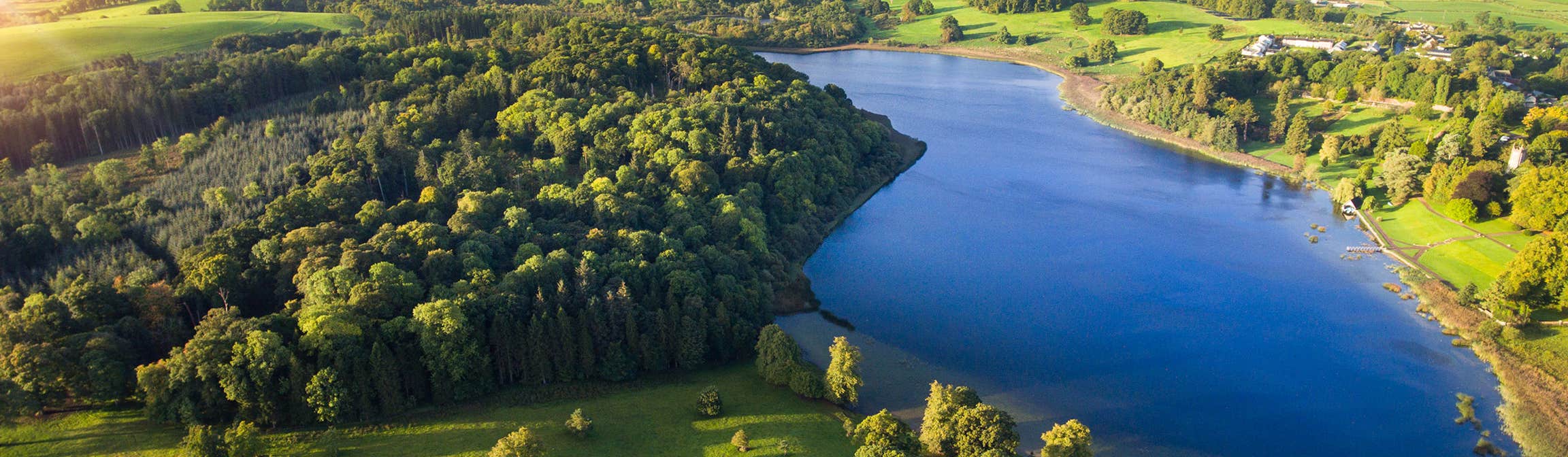 LiscusseeFairy fort / earthen ringfort · 723 yd
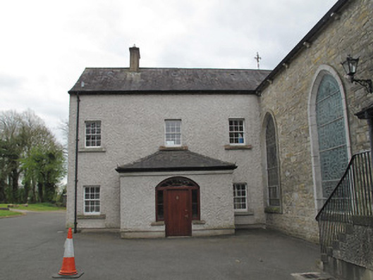 Saint Mary's Catholic Churchpresbytery/parochial/curate's house · 836 yd
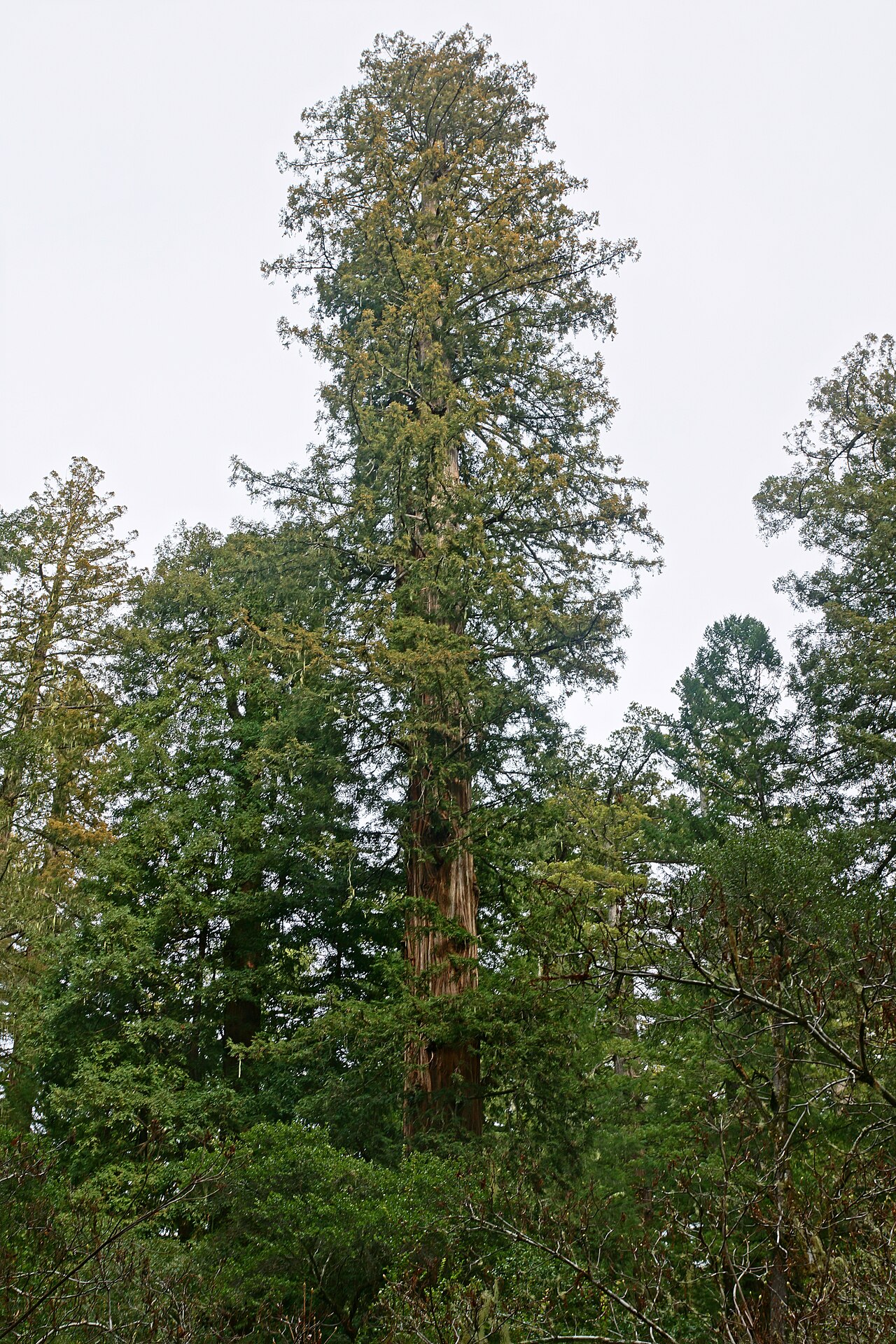 Coast RedwoodCoast Redwood · 864 yd
 Western RedcedarWestern Redcedar · 882 yd
 Rough HillMountain / peak · 2.7 mi
 Sliabh Beagh Hotel and Tourism CentreVisitor information · 3.7 mi
 Monaghan County MuseumMuseum · 3.9 mi
 Banba GiantHeritage attraction · 3.9 mi
 Rossmore MonumentMemorial · 3.9 mi
 Bawn in Roosky (monaghan By., Monaghan Par.)Bawn · 4.0 mi