What is recorded here
Fairy forts in Clanmahon defy easy belief. They are not childish fantasy, but human memory made visible: boundary, exclusion, danger, sacred distance. The measurements and field work do not diminish them; they make them clearer. What resists ordinary explanation may still be true.
Raised almost oval area (int. dims. c. 29m NW-SE; c. 26m NE-SW) enclosed by a low earthen bank and slight remains of a fosse which has been infilled from E-SE-S. Bank modified and incorporated into the field boundary from E-S-WNW. Original entrance not recognisable.
The above description is derived from the published 'Archaeological Inventory of County Cavan' (Dublin: Stationery Office, 1995). In certain instances the entries have been revised and updated in the light of recent research.
Date of upload/revision: 22 December 2008
The monument record does not grant public access. Check the route and ask the landowner before entering private land.
- What survives
- Recorded monument
Places near here
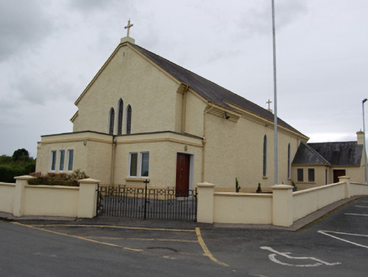 St Mary’s Roman Catholic Churchchurch/chapel · 1256 yd
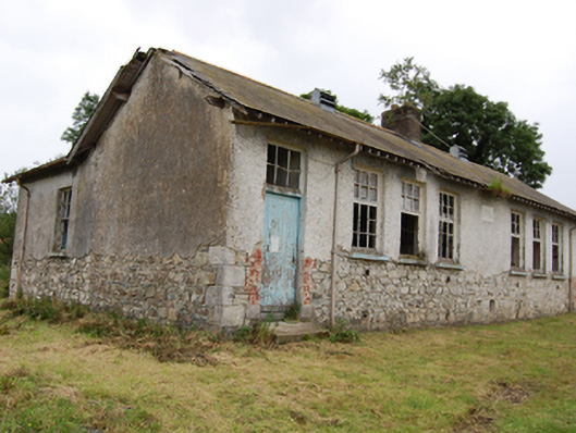 Carrigan National Schoolschool · 1511 yd
 DrumbrucklisMountain / peak · 1.0 mi
 Muckram FortFairy fort / earthen ringfort · 2.0 mi
 Mackram FortArchaeological place · 2.0 mi
 DrumhawnaghMountain / peak · 2.3 mi
 BroomhillWood · 2.3 mi
 Oghill Bog WoodWood · 2.5 mi
 IdicatedCastle, unclassified · 3.5 mi
 Giant's GraveArchaeological place · 3.7 mi
 Red IslandIslet · 3.8 mi
 Crane IslandIslet · 5.2 mi