What is recorded here
Located on an E-W drumlin ridge with higher ground just to the W. It is depicted as an oval enclosure on the NE side of a NW-SE section of a minor road on the 1834 edition of the OS 6-inch map where it is described in gothic lettering as a ‘fort’ and as a D-shaped enclosure NE of the road on the 1907 edition. Traces of a D-shaped enclosure (dims 46m NW-SE; 26m NE-SW) that slopes down to the SE is defined by a scarp (at NE: Wth 2.4m; H 1.3m) and hedge NW-E-SE, but it is truncated by a NW-SE road at SW. The perimeter SW-NW cannot be identified, and there is no visible fosse although traces of one (Wth c. 1.5m) were visible in the 1940s (SMR file). The original entrance is not identified but a hollow (diam. 5m) on the perimeter at NE may be the site of a collapsed Man-made underground passage.
The above description is derived from the published 'Archaeological Inventory of County Monaghan' (Dublin: Stationery Office, 1986). In certain instances the entries have been revised and updated in the light of recent research.
Revised by: Michael Moore
Date of revision: 20 July 2018
The monument record does not grant public access. Check the route and ask the landowner before entering private land.
- What survives
- Recorded monument
Places near here
 Man-made underground passage in DrumannyMan-made underground passage · 25 yd
 Hilltop enclosure in MaghernakellyHilltop enclosure · 551 yd
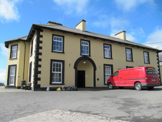 Tonnagh Househouse · 1650 yd
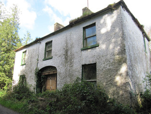 Crosslea Househouse · 1657 yd
 CortoberMountain / peak · 1.2 mi
 Brown Bog WoodForest · 1.2 mi
 Rabbitburrow WoodWood · 1.4 mi
 Dromore HillMountain / peak · 1.5 mi
 CastleCastle, unclassified · 3.1 mi
 Bawn in DrumsheilBawn · 3.5 mi
 Giant's GraveArchaeological place · 5.5 mi
 Senator Billy Fox 1939 - 1974Memorial · 8.1 mi