What is recorded here
Fairy fort in Dromore East, County Monaghan, is an earthen ringfort with a 39.5-metre diameter on a drumlin ridge overlooking a western col. Its bank stands about three metres high inside, encloses a narrow circular space, and still carries traces of an outer ditch along part of the edge. Rath MO018-022---- lies about 150 metres west, suggesting the ridge held more than one defended or occupied place. The fort may have served as a stronghold, a boundary marker or a seasonal gathering point, but its name preserves the older belief that fairies, not people, once lived there.
Located towards the bottom of the SW-facing spine of a NE-SW drumlin ridge and overlooking a col to the W. This is a circular overgrown area (diam. 39.5m E-W) defined by an earthen bank (Wth c. 2-3m; int. H c. 03m; ext. H c. 1m), with traces of an external fosse SSW-W-NNE. There is a modern entrance at NNE. Rath (MO018-022----) is c. 150m to the W, and the scrub had been removed by 2000 (OSAP).
The above description is derived from the published 'Archaeological Inventory of County Monaghan' (Dublin: Stationery Office, 1986). In certain instances the entries have been revised and updated in the light of recent research.
Revised by: Michael Moore
Date of revision: 18 June 2018
The monument record does not grant public access. Check the route and ask the landowner before entering private land.
- What survives
- Recorded monument
Places near here
 W. Sloanhouse · 422 yd
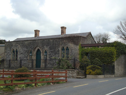 Monaghan Road Railway Stationrailway station · 702 yd
 Carrick an AffrinMass-rock · 1439 yd
 IndicatedFairy fort / earthen ringfort · 1615 yd
 LisnaspeenanMountain / peak · 3.1 mi
 Fedd HillMountain / peak · 3.5 mi
 Ballybay Wetland CentreNature reserve · 3.6 mi
 The Rabbit BurrowWood · 4.0 mi
 Rossmore MausoleumHeritage attraction · 4.9 mi
 Roosky Castle (Site of)Castle, ringwork · 5.5 mi
 Senator Billy Fox 1939 - 1974Memorial · 8.1 mi
 Gull IslandIslet · 11 mi