What is recorded here
A circular earthen fort stood on the north-facing slope in Dromleigh until ploughs and boundary walls removed its visible trace. The 1842 map still shows a twenty-five metre enclosure, suggesting people lived or stored goods there before the land changed. The surviving stone wall marks where the southern edge once ran, preserving the shape of a house now reduced to memory.
In pasture, on N-facing slope. Depicted as hachured circular enclosure (diam. c. 25m) on 1842 OS 6-inch map; on 1905 and 1935 OS 6-inch map N half hachured as scarp and as bank respectively, S half shown as part of field boundary. Levelled; no visible surface trace; field boundary which survives E->WSW is stone built.
The above description is derived from the published 'Archaeological Inventory of County Cork. Volume 4: North Cork' (Dublin: Stationery Office, 2000). In certain instances the entries have been revised and updated in the light of recent research.
Date of upload/revision: 14 January 2009
The monument record does not grant public access. Check the route and ask the landowner before entering private land.
- What survives
- Recorded monument
Places near here
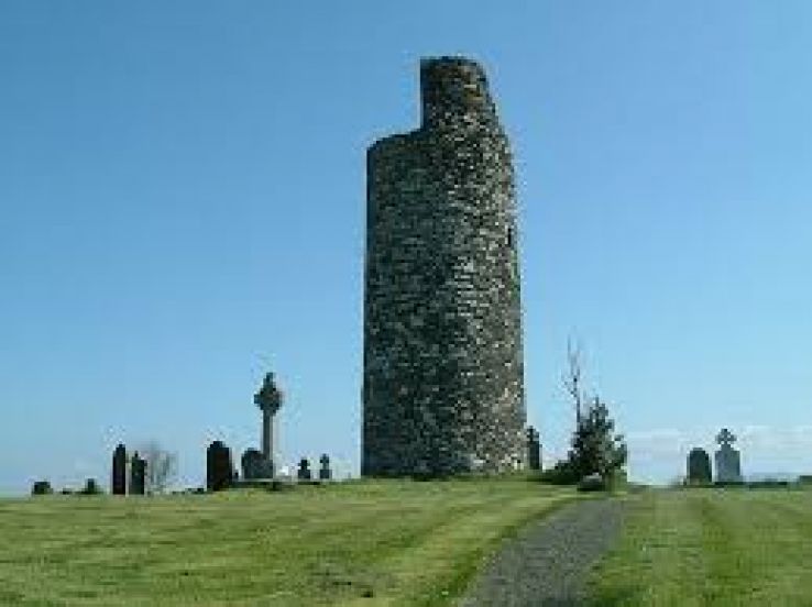 Grave YdGraveyard · 485 yd
 Enclosure in Dromleigh (condons and Clongibbon By.)Enclosure · 741 yd
 Caherdrinny Castle (in Ruins)Castle, tower house · 1.1 mi
 FlagCave · 1.6 mi
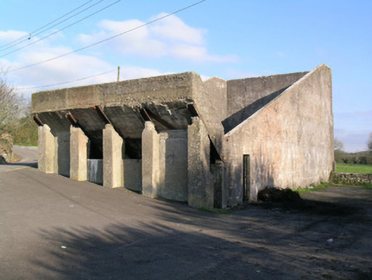 Ballindangan Handball Alleyhandball alley · 1.6 mi
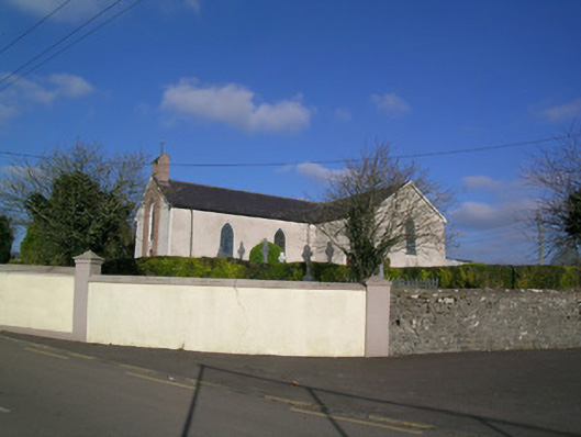 Church of the Immaculate Conceptionchurch/chapel · 1.6 mi
 Statue of Saint FanahanMemorial · 2.1 mi
 Mitchelstown Town MapVisitor information · 2.3 mi
 John MandevilleMemorial · 2.3 mi
 Carriganoura Castle (in Ruins)Castle, tower house · 2.3 mi
 St Dominick's WellSpring · 4.1 mi
 Kilclooney WoodWood · 5.0 mi