What is recorded here
No visible fort remains at Dromlara, though O’Dwyer called it a ringfort and two enclosures still lie nearby. The land has been taken, cut and changed until memory itself has thinned. What is left is a absence shaped like a room, waiting for someone to stop asserting that nothing happened.
In improved, gently undulating pasture, c. 315m N of a townland boundary with Kilduff. Enclosure (LI024-128----) lies c. 100m to SW. Depicted as a sub-triangular shaped enclosure on the 1840 ed. OS 6-inch map. Shows as a roughly D-shaped tree-planted earthwork on the 1897 ed. OS 25-inch map. Described by O’Dwyer (1959, 72) as a ‘ringfort’. Monument surveyed by the ASI in 2008 and described as a raised roughly oval-shaped area (approx. 52m NW-SE; 48m NE-SW) enclosed by a substantial earthen bank (Wth 5.7; int. H 0.85m; ext. H 1.6m) and fosse (overall Wth 4.8m; base Wth 2.0m; D 0.6m) with possible causewayed entrance (overall Wth 5.25m; basal Wth 2.7m) at NNW. The enclosing bank is a substantial earthen bank (Wth 5.7; int. H 0.85m; ext. H 1.6m) from NW-N-E-S-SW that is reduced to a smaller bank from SW-W-NW. The fosse has been re-cut (D c. 1.5m) from NW-N-NE to facilitate drainage. There is a modern gap(Wth 4m) in the bank at W. Possible quarrying (total Wth 5m; 1.8m) into base of inner face of bank at SE. Monument is visible as a tree-planted earthwork on OSi orthoimage taken 2005-2012, on Digital Globe orthoimage taken 2011-2013 and on Google Earth orthoimage taken 18/11/2018.
See attached Google Earth orthoimage 18/11/2018 and a sketch plan which was measured and drawn by the ASI in 2008.
Compiled by: Alison McQueen and Vera Rahilly
Date of upload: 26 September 2020
The monument record does not grant public access. Check the route and ask the landowner before entering private land.
- What survives
- Recorded monument
Places near here
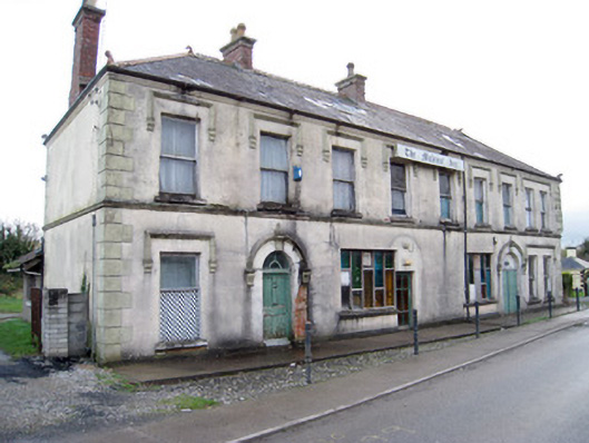 hotelhotel · 601 yd
 Station Houserailway station · 607 yd
 EnclosureEnclosure, large enclosure · 797 yd
 Enclosure in SunvilleEnclosure · 798 yd
 Kilduff Castle (in ruins)Castle, tower house · 838 yd
 Kilduff CastleCastle · 839 yd
 ToberagaddySpring · 913 yd
 KnockseefinMountain / peak · 1.6 mi
 St. Patrick's WellSpring · 4.3 mi
 Oola HillMountain / peak · 4.3 mi
 Graveyard in AbingtonGraveyard · 5.8 mi
 Flat cemetery in Knockainy WestFlat cemetery · 8.7 mi