What is recorded here
Drominaclara held a twenty-metre embanked ring on an east-facing slope, visible on the 1841 map but erased from the pasture before human memory faded. The fort may have stored grain, sheltered families or marked a boundary, yet the land itself forgot the shape. What remains is a clean absence, smooth enough to suggest the earth took back the wall rather than people removing it.
In pasture, on E-facing slope. Monument, depicted on 1841 OS 6-inch map as embanked circular enclosure (diam. c. 20m), has been levelled. No trace of monument evident when inspected.
Compiled by: Denis Power
Date of upload: 26 August 2011
The monument record does not grant public access. Check the route and ask the landowner before entering private land.
- What survives
- Recorded monument
Places near here
 Carriganea CastleCastle · 479 yd
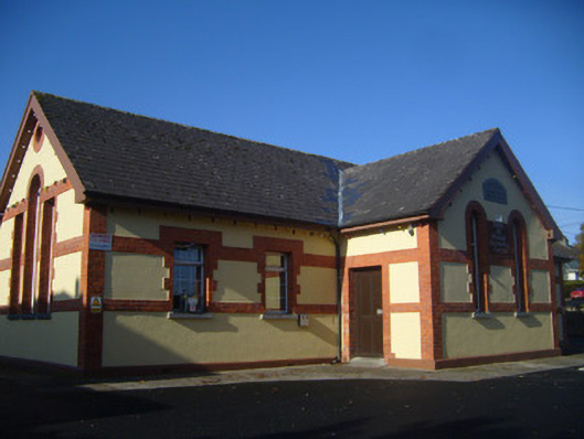 schoolschool · 740 yd
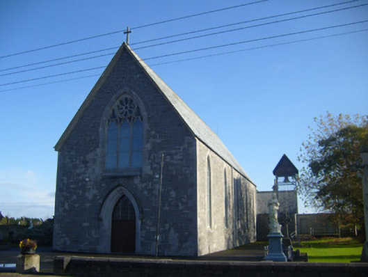 Saint Mary's Catholic Churchchurch/chapel · 855 yd
 TobermurryHoly well · 1368 yd
 Grave Yd.Graveyard · 1391 yd
 Bawn in Castletown (kenry By.)Bawn · 1.2 mi
 Sweet ChestnutSweet Chestnut · 1.6 mi
 Stonehall Visitor FarmHeritage attraction · 2.1 mi
 Ringmoylan PierVisitor information · 2.2 mi
 Celtic Park and GardensHeritage attraction · 2.4 mi
 Mellon PointHeadland · 2.9 mi
 Rinekirk PointHeadland · 3.3 mi