What is recorded here
Dromin is a lost circular enclosure, about 30 metres across, that once stood in pasture to the SSW of a farmhouse. It had a single bank and fosse before being levelled in the early 1900s. The 1846 OS 6-inch map still shows its ghost, cut off-centre to the north by an east-west field boundary.
In pasture, to the SSW of a farmhouse. This rath is not visible at ground level. According to local information, it was levelled in the early 1900s and had consisted of a single bank and fosse. It is indicated as a circular enclosure (diam. c. 30m) on the 1846 OS 6-inch map, bisected off-centre to the N by an E-W field boundary.
Compiled by: Elizabeth Byrne, Ursula Egan and Sheila Ronan, Archaeological Survey Unit, University College, Cork.
Date of upload: 31 January 2011
The monument record does not grant public access. Check the route and ask the landowner before entering private land.
- What survives
- Recorded monument
Places near here
 Killalee Church (in Ruins)Church · 474 yd
 Fulacht FianFulacht fia · 637 yd
 IndicatedFairy fort / earthen ringfort · 659 yd
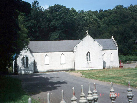 Saint Lelia's Catholic Churchchurch/chapel · 997 yd
 Pallis Castle (Site of)Castle, tower house · 1.5 mi
 CastleCastle, tower house · 1.5 mi
 Japanese pagoda treeJapanese pagoda tree · 1.7 mi
 Aghadoe Early Medieval Ecclesiastical SiteHeritage attraction · 1.7 mi
 Dunloe Ogham StonesHeritage attraction · 2.0 mi
 Rabbit or Brown IslandIslet · 2.1 mi
 Lamb IslandIsland · 2.5 mi
 European YewEuropean Yew · 2.6 mi