What is recorded here
Fairy fort in Dromin, County Limerick: a level 30-metre ring with a scarped edge, inner lip, external fosse and a narrow northern gap, still standing in open pasture beside a farm track. People may have lived there, herded there or simply avoided the marked circle because boundary and memory still move through ordinary fields.
In level pasture. Circular area (diam. c. 30m) defined by a scarped edge with inner lip (int. H 0.5m; ext. H 1.3m) with external fosse (D 0.95m; Wth 2.2m). Gap (Wth 1.7m) across scarped at N. Field boundary, which formerly abutted enclosure on E side has been removed. An E-W running farm track passes 2.5m to N of site. Interior level, dry and clear of overgrowth.
Compiled by: Denis Power
Date of upload: 26 August 2011
See attached ASI aerial photographs ASIAP – taken on 04/03/2006.
This remains an important historical record, but the official description says the monument is no longer visible or has been destroyed. The monument record does not grant public access. Check the route and ask the landowner before entering private land.
- What survives
- No visible remains or recorded as destroyed
Places near here
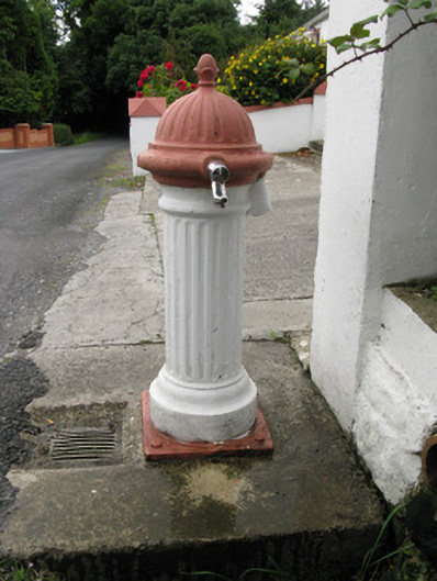 water pumpwater pump · 1141 yd
 Dooally Bridgebridge · 1418 yd
 Enclosure in Castle DemesneEnclosure · 1534 yd
 Burial GroundGraveyard · 1736 yd
 Templars Castle (in ruins)Castle, Anglo-Norman masonry castle · 1.2 mi
 Limerick GreenwayWalking route · 2.3 mi
 Sugar HillMountain / peak · 3.5 mi
 Castle MahonCastle · 4.0 mi
 St. Luke's WellSpring · 4.4 mi
 Saint Ite's WellSpring · 4.8 mi
 Ballagh MountainMountain / peak · 5.9 mi
 Lawson's CypressLawson's Cypress · 7.9 mi