What is recorded here
Thirty-six metres across on rising Kerry land, the fort still stands with a six-metre-wide bank of earth and stone. Three stone mounds dot the interior, while cattle have chewed gaps through the barrier and a four-metre opening faces southeast. People may have lived there, fenced it, forgotten it or fed it until it became a fairy fort in local mouths. The fieldbank marked on the 1841-42 map cuts through the middle like a ridge someone stopped tending.
Internal diameter 36m
Situated on rising land, this univallate ringfort consists of a sub-circular area enclosed by a bank of earth and stone. A ridge runing roughly in a N-S direction down the interior of the site is an old fieldbank that is marked on the 1841-42 OS map. The height of the enclosing bank measures on average 2m externally and 1.1m internally. The width of the bank at the base measures 6m. The interior is at a slightly higher level than the surrounding land and three mounds constructed roughly of stone are to be noted in the NE, SE and NW sectors, measuring c 13m x 5m (KE004-023001-), c 7m x 5m (KE004- 023002-) and c 3m x 2m (KE004-023003-). Numerous cattle breaks exist in the bank, but an opening of 4m to the SE may be the entrance.
The above description is derived from C. Toal, ‘North Kerry Archaeological Survey’. Dingle. Brandon in association with FAS Training and Employment Authority (1995), no. 223. In certain instances the entries have been revised and updated in the light of recent research.
Date of upload: 2 August 2013
The monument record does not grant public access. Check the route and ask the landowner before entering private land.
- What survives
- Recorded monument
Places near here
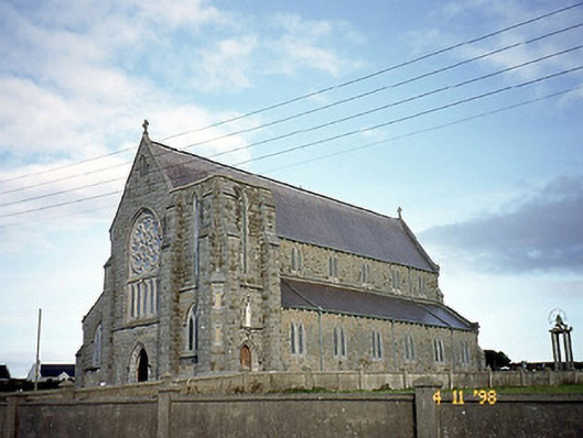 Saint John's Catholic Churchchurch/chapel · 840 yd
 Doon Catholic Churchchurch/chapel · 924 yd
 Nuns' BeachBeach / strand · 993 yd
 Ballybunion Cliff PathWalking route · 1000 yd
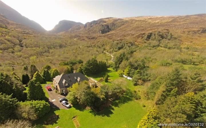 ToberreendoneyHoly well · 1008 yd
 Dookeenee CastleCastle · 1141 yd
 Man-made underground passage in Doon WestMan-made underground passage · 1177 yd
 Ladies' BeachBeach / strand · 1235 yd
 CastleCastle, tower house · 1355 yd
 PulleenIslet · 1.1 mi
 Doon PointHeadland · 1.1 mi
 Bromore CliffsCliff · 1.2 mi