What is recorded here
Marianne and the camera moved through Drombeg, passing fields where other people had already pointed at rocks and repeated warnings. She wanted to see the place herself, not receive someone else's fear in a small circle of earth. The ring appeared later, not as a monument but as a change in the land, a shallow bowl holding grass, shadow and silence. She sat inside it with her boots off, listening to the field breathe. When she left, she did not claim to understand it. She carried the shape of it, which is more honest than certainty and more useful than fear.
Internal diameter 29m N-S, 27.6m E-W
Situated two fields E of KE010-022---- in a field which is sloping gently S, this univallate rath consists of a sub-circular area enclosed by a low earthen bank which is on average 7m in width at the base. At its highest point it rises to 2.2m above the surrounding land and .6m above the interior.
The above description is derived from C. Toal, ‘North Kerry Archaeological Survey’. Dingle. Brandon in association with FAS Training and Employment Authority (1995), no. 399. In certain instances the entries have been revised and updated in the light of recent research.
Date of upload: 2 August 2013
The monument record does not grant public access. Check the route and ask the landowner before entering private land.
- What survives
- Recorded monument
Places near here
 ToberreendoneyHoly well · 175 yd
 Fortification in DrombegFortification · 421 yd
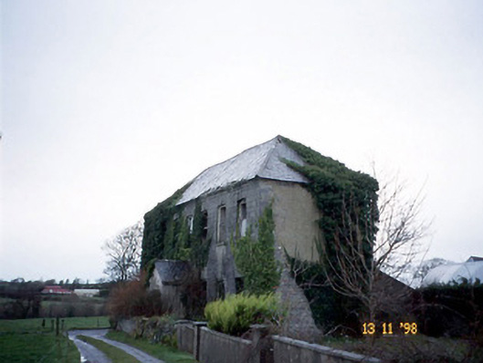 Bedford Househouse · 737 yd
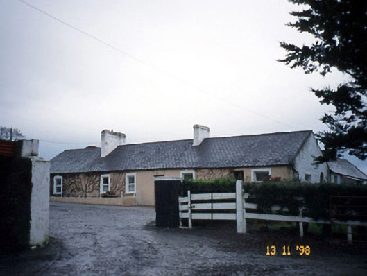 Gunsboroughfarmyard complex · 1.5 mi
 Bawn in GlouriaBawn · 2.0 mi
 Lartigue MonorailMuseum · 2.0 mi
 John B. Keane GroveMemorial · 2.0 mi
 Bryan MacMahonMemorial · 2.3 mi
 Kerry Writers' MuseumMuseum · 2.3 mi
 Listowel Castle (in ruins)Castle, tower house · 2.4 mi
 KnockanoreMountain / peak · 5.7 mi
 Siege of Carrigafoyle Castlesiege · 6.3 mi