What is recorded here
Fairy fort in Dromataniheen, County Cork: a circular earthwork with steep inner scarp, double banks, waterlogged ditch, shallow outer ditch and a wide overgrown SE entrance. It stands on the SW shoulder of a ridge in pasture, the kind of place people once kept clear or walked past quickly. If it is a fairy fort, it is not a joke but a boundary: human land ending, and something older beginning.
In pasture, on SW shoulder of NE-SW ridge. Circular raised area (39.1m N-S; 41m E-W) enclosed by steep scarp crowned by low earthen bank (H 0.6m); second earthen bank SSE->NW (H 2.15m); low NW->SE; separated from inner bank by waterlogged fosse (D 2.15m). Shallow outer fosse to S. Overgrown entrance (Wth 6.2m) to SE.
The above description is derived from the published 'Archaeological Inventory of County Cork. Volume 1: West Cork' (Dublin: Stationery Office, 1992). In certain instances the entries have been revised and updated in the light of recent research.
Date of upload/revision: 14 January 2009
The monument record does not grant public access. Check the route and ask the landowner before entering private land.
- What survives
- Recorded monument
Places near here
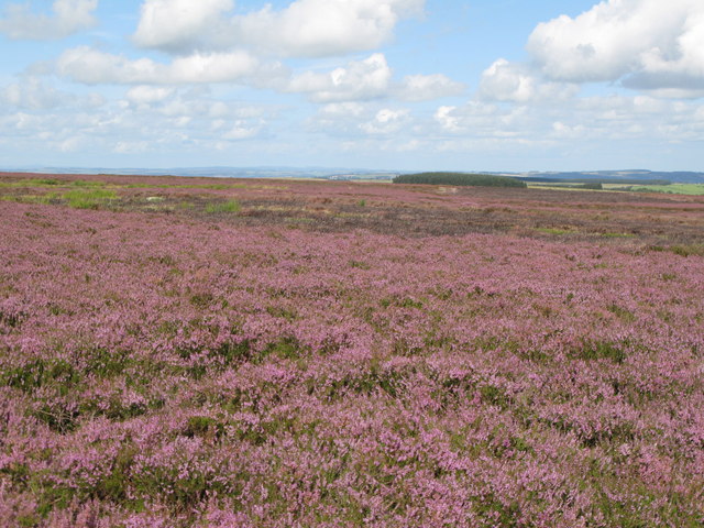 Burnt mound in DromataniheenBurnt mound · 248 yd
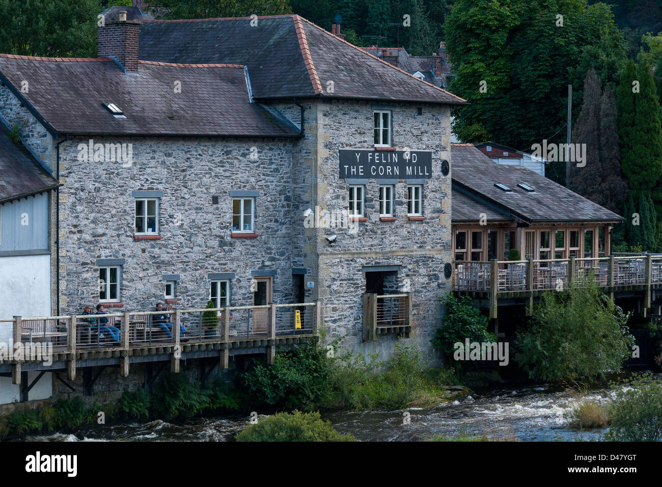 Corn MillMill, corn · 1059 yd
 KilbreaghMountain / peak · 1462 yd
 Sacred Heart Roman Catholic Churchchurch/chapel · 1484 yd
 Burial Ground (Disused)Burial ground · 1640 yd
 Coomkeen Loop WalkWalking route · 1.3 mi
 Durrus CheeseHeritage attraction · 1.4 mi
 KnockboolteenaghMountain / peak · 1.5 mi
 Coolnalong Castle (in Ruins)House, fortified house · 1.6 mi
 Barnageehy Loop WalkWalking route · 2.0 mi
 Mannion's Island (Small)Islet · 2.1 mi
 Rossmore Castle (in Ruins)Castle, tower house · 2.2 mi