What is recorded here
Magic is not needed to explain why Dromaneen’s fort disappeared into pasture, because men did it. The chart showed a round wall in 1842, but later measurements found an oval scar with a low bank and a hidden ditch. Humans straightened what they did not understand, then buried the difference under grass and forgetting.
In gently rolling pasture. Depicted as hachured circular enclosure (diam. c. 40m) on 1842 OS 6-inch map; as hachured slightly oval enclosure on 1905 and 1936 OS 6-inch maps. Levelled; oval area (41.6m NNE-SSW; 29.7m ESE-WNW) defined by earthen bank (int. H 1.2m; ext. H 1.6m) NE->S; low undulation elsewhere. Slight depression to W outside line of levelled bank may be remains of fosse. Surviving bank incorporated into field fence system; rubble and tree roots dumped on surface. Recorded by Bowman (1934, 588) as single-ramparted fort (diam. c. 31yd; bank H c. 6ft) in E. O'Keeffe's.
The above description is derived from the published 'Archaeological Inventory of County Cork. Volume 4: North Cork' (Dublin: Stationery Office, 2000). In certain instances the entries have been revised and updated in the light of recent research.
Date of upload/revision: 14 January 2009
The monument record does not grant public access. Check the route and ask the landowner before entering private land.
- What survives
- Recorded monument
Places near here
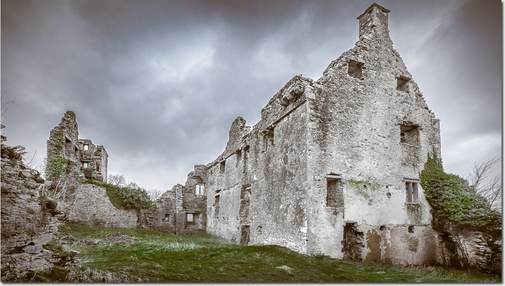 Enclosure in DromaneenEnclosure · 252 yd
 IndicatedFairy fort / earthen ringfort · 534 yd
 Dromaneen CastleHeritage attraction · 720 yd
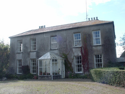 Newberry Housecountry house · 1094 yd
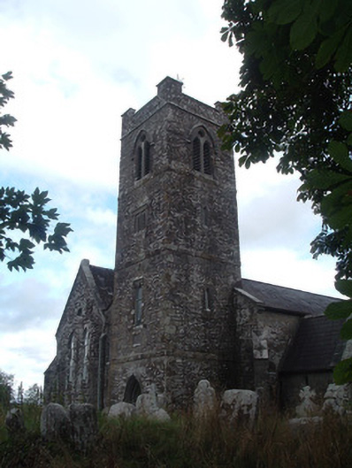 Saint Senach's Church (Kilshannig)church/chapel · 1114 yd
 In loving memory of Elvis O'DonoghueMemorial · 2.8 mi
 Mallow Castle RuinRuins · 3.6 mi
 Lohort CastleCastle, tower house · 3.6 mi
 Graveyard in Ballygiblin (duhallow By.)Graveyard · 4.8 mi
 Mount HillaryMountain / peak · 5.1 mi
 Mount Hillary - Knightfield LoopWalking route · 5.5 mi
 Mount Hillary - Mount Hillary LoopWalking route · 5.7 mi