What is recorded here
Dromagarraun holds a broken ring where a field boundary cut through ancient marshy pasture. The remaining scarped edge and shallow fosse mark a circle once twenty-nine metres wide, now truncated to twenty point three metres on one side. Rushes still line the eastern ditch, holding the shape of a place people shaped before the land was divided into modern strips.
In undulating marshy pasture. Formerly circular enclosure (diam. 29m E-W) has been truncated on N side by E-W field boundary, so that distance from field boundary to edge of interior is now 20.3m N-S. Surviving enclosing element consists of a scarped edge (H 0.25m; Wth 3m) with an external fosse (D 0.25m; Wth 3m). Fosse is barely apparent on W side but on E side is accentuated by stand of rushes growing along it. Interior slopes up gently towards centre. Entire site under grass.
Compiled by: Denis Power
Date of upload: 26 August 2011
The monument record does not grant public access. Check the route and ask the landowner before entering private land.
- What survives
- Recorded monument
Places near here
 Kyle Burial GroundBurial ground · 1017 yd
 TobercloonaghSpring · 1583 yd
 Ahanagorp Burial GroundBurial ground · 1.1 mi
 Scoil Naomh Mhuireschool · 1.2 mi
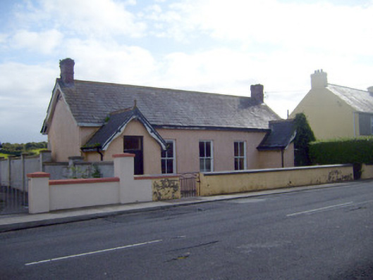 Ballyhahill Carnegie Librarylibrary/archive · 1.3 mi
 Prospect HillMountain / peak · 2.3 mi
 Castle (Site of)Castle, unclassified · 3.4 mi
 Bawn in Killacolla (barker)Bawn · 3.7 mi
 Mountshannon WoodWood · 4.7 mi
 Mountshannon PointHeadland · 4.7 mi
 Monterey CypressMonterey Cypress · 4.9 mi
 Killanna PointHeadland · 5.3 mi