What is recorded here
No amount of rain or ploughing will ever make that circle disappear, because the land itself remembers the shape. Susan Curran drew the first clear line around it when she studied the survey data for her degree, but the ground had been holding the secret long before her pen touched paper. The fairies built it, the children of men forgot it, and the mountain kept it safe through every famine and fever. Now the circle waits for someone stubborn enough to walk its edge and ask what it wants back.
Situated in rough pasture on a NNW-SSE ridge, with similar ridges c. 150m to the E and c. 200m to the SW. It was first identified by Susan Curran as part of an M.A. thesis with University College Dublin using a LiDAR survey dataset commissioned by Leitrim County Council and the National Roads Authority, and it is visible on the OSI aerial images (2005) and Bing images (c. 2013). This is a circular grass and rush-covered area (diam. 24m N-S; 24m N-S) defined by a shallow fosse SE-W-NE that is best preserved (Wth of top 6.2m; Wth of base 2.5m; D 0.2m) at S and is reduced to a scarp (Wth 1.7m H 0.15m) NE-SE. There is no recognisable entrance. The rath (LE032-005----) is on the parallel ridge c. 130m to the E.
Compiled by: Michael Moore
Date of upload: 11 May, 2015
The monument record does not grant public access. Check the route and ask the landowner before entering private land.
- What survives
- Recorded monument
Places near here
 LisduffFairy fort / earthen ringfort · 173 yd
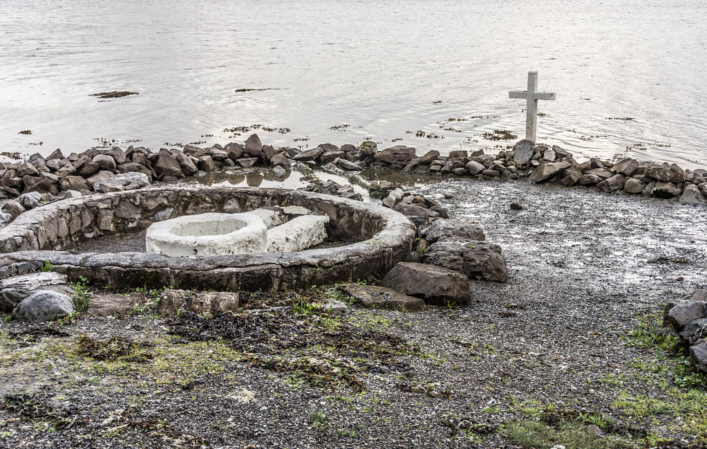 Holy well in AghintoberHoly well · 994 yd
 Drumsna National Schoolschool · 1.4 mi
 Declaration of IndependenceMemorial · 1.7 mi
 Catholic Church of the Immaculate Conceptionchurch/chapel · 1.8 mi
 Robert Strawbridge MemorialMemorial · 1.8 mi
 Wildlife AreaNature reserve · 2.1 mi
 CastlecarraCastle, unclassified · 3.0 mi
 Leabaidh DermotCave · 3.5 mi
 PortCastle, unclassified · 4.0 mi
 Shannon-Erne WaterwayVisitor information · 4.2 mi
 Moon RiverHeritage attraction · 4.3 mi